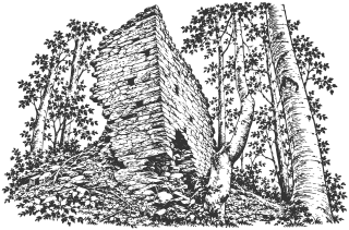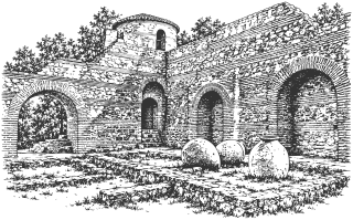
Sights

105 sights in the town, the municipality, and the province.

Find a sight to visit

Sights found: 105

    1. 01 Hisarlaka Fortress

      History · Kyustendil town

      The late Roman fortress on the hill above Kyustendil, usually dated to the late 4th or early 5th century, although its construction chronology is disputed. It stands on the sacred hill of Pautalia, where temples of Asclepius and other gods once stood. Parts of the walls and three towers were rebuilt in 2014-2015. Around it grows a pine forest planted from 1891, and every March 21 the town welcomes spring in front of its east gate.

      Read about this sight →Show on map

    2. 02 Medieval Church of St. George

      Places of worship · Kolusha quarter · Kyustendil town

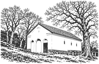
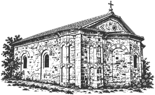
      A small cross-in-square church in the Kolusha quarter, dated by the museum to the 11th-12th centuries; its precise construction period is disputed. It holds five layers of murals, among them a well-preserved image of St. Nicholas, and more than two hundred graffiti scratched by visitors over the centuries. It is also tied to a local legend: the grave of Tsar Mihail III Shishman.

      • Approximate time at the site: 45 min

      Read about this sight →Show on map

    3. 03 Roman Thermae

      Mineral water · Kyustendil town

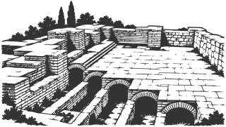
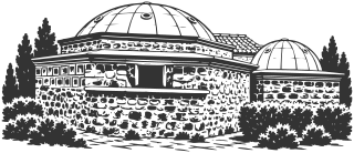
      The ruins of the great public baths of Roman Pautalia, built around the middle of the 2nd century and still in use in the 3rd. Below today’s streets you can see parts of six rooms, with two kinds of underfloor heating and walls of alternating stone and brick. The town grew up because of its hot springs, and the baths are their finest monument.

      Read about this sight →Show on map

    4. 04 Pirgova Tower

      History · Kyustendil town

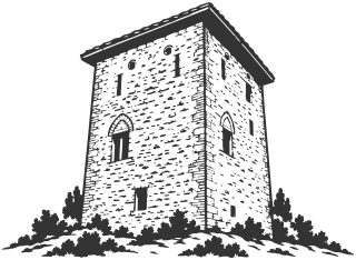
      A stone residential tower in central Kyustendil, built between the 14th and 16th centuries as the home and stronghold of a local lord. It is the only survivor of the town’s several medieval towers, and today it is an exhibition space of the Regional History Museum.

      Read about this sight →Show on map

    5. 05 Vladimir Dimitrov-Maystora Art Gallery

      Museums and buildings · Kyustendil town

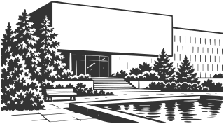
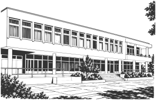
      The gallery bears the name of Vladimir Dimitrov-Maystora (1882-1960), the painter of the Kyustendil region and its people. It holds his largest collection, more than 1,500 works. The 1972 building is, in the gallery’s own words, the first in Bulgaria built specifically as an art gallery, and beneath it lies the fortress wall of Roman Pautalia.

      Read about this sight →Show on map

    6. 06 Chifte Bath

      Mineral water · Kyustendil town

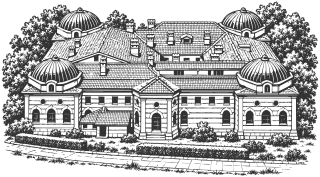
      Kyustendil’s town mineral bath, built in 1910-1913 on the site of a late-15th-century Ottoman double bath. It still works today: separate sections for men and women, each with three pools of hot mineral water that is cooled the old way, with a tank and gravity. Around it lies the Bath Garden.

      • Approximate time at the site: 90 min

      Read about this sight →Show on map

    7. 07 Dervish Bath

      Mineral water · Kyustendil town

      An Ottoman mineral bath from 1566; the year is spelled out in red brick on the façade. The municipality calls it the oldest preserved Ottoman public bath in Bulgaria. It worked for more than 400 years, until 1992, and it is one of the few Ottoman buildings in Kyustendil that survived the 1950s.

      Read about this sight →Show on map

    8. 08 Emfiedzhieva House

      Museums and buildings · Kyustendil town

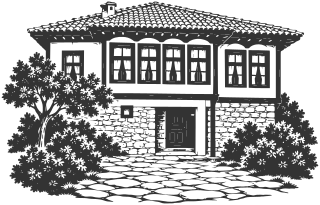
      A Revival-era house from 1874 in the old Lozenets quarter, at the foot of Hisarlaka. In January 1878 it housed the headquarters of the Russian detachment that freed Kyustendil, and today it holds the exhibition on town life in the late 19th and early 20th centuries. It was renovated in 2025-2026 under a European project.

      • Approximate time at the site: 40 min

      Read about this sight →Show on map

    9. 09 Ilyo Voyvoda House Museum

      Museums and buildings · Kyustendil town

      The house where Ilyo Voyvoda lived from 1878 until his death in 1898: the hajduk from Maleshevo, the legionary of Rakovski, and the leader of the band that entered Kyustendil together with Russian units on January 11, 1878. Today it holds the exhibition on the region’s struggle for liberation.

      Read about this sight →Show on map

    10. 10 Dimitar Peshev House Museum

      Museums and buildings · Kyustendil town

      The only museum in Bulgaria devoted to the rescue of the Bulgarian Jews. In March 1943 four men from Kyustendil went to Sofia to stop the deportation of their fellow citizens, and the deputy speaker of Parliament, Dimitar Peshev, took up their cause and organized a protest letter with 43 parliamentary signatures. The house is an exact copy of his family home.

      • Approximate time at the site: 45 min

      Read about this sight →Show on map

    11. 11 Kyustendil Town Hall

      Museums and buildings · Kyustendil town

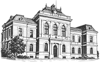
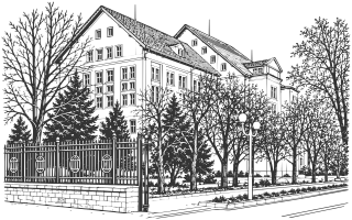
      The red building with the clock on Velbazhd Square was built in 1889-1894 as the Pedagogical School, Kyustendil’s “alma mater.” It went on to serve as the Army’s General Headquarters in World War I and as Bulgaria’s first court palace, and today it is the Town Hall. The clock’s bell was cast in 1429 and still strikes every hour.

      • Approximate time at the site: 20 min

      Read about this sight →Show on map

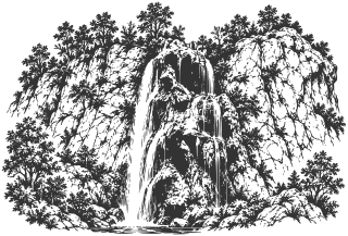
    12. 12 Polska Skakavitsa Waterfall

      Nature and parks · Zemen Gorge · Kyustendil Municipality outside town

      A waterfall about 53 m high in the Zemen Gorge of the Struma, beside the almost empty village of Polska Skakavitsa. Its water is so rich in lime that it builds up tufa on the rock, and the fall keeps changing shape. The Czech historian Konstantin Jireček wrote in 1888 that the view has “few equals in the wilds of the Balkan Peninsula.”

      Read about this sight →Show on map

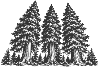
    13. 13 Sequoias of Yuchbunar

      Nature and parks · near Bogoslov · Kyustendil Municipality outside town

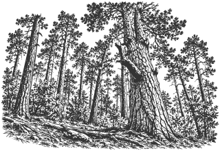
      Three giant sequoias planted in the late 19th century by the Kyustendil forester Yordan Mitrev, with about a hundred younger ones around them, in the Yuchbunar area above Kyustendil. They are more than 30 m tall, and the largest has a trunk 9 m around. In 2017 they won Bulgaria’s “Tree with Roots” contest, and in 2018 they represented the country in European Tree of the Year.

      Read about this sight →Show on map

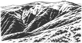
    14. 14 Ruen Peak

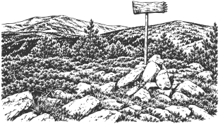
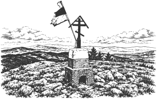
      Nature and parks · Osogovo · Kyustendil Municipality outside town

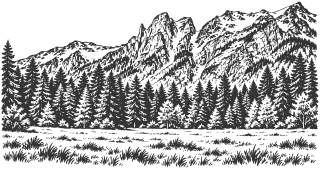
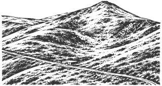
      The highest peak of the Osogovo Mountains, 2,251 m, on the border with North Macedonia. It has a grassy, broad, flat summit. Four rivers rise around it and flow toward the Struma and the Vardar. In autumn the leaves of the bilberry bushes on its slopes turn red, which may be where its name comes from. From Kyustendil you can reach the summit in a day, via the Osogovo hut.

      Read about this sight →Show on map

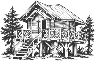
    15. 15 House of Baba Yaga

      Nature and parks · Hisarlaka Park · Kyustendil town

      A wooden house on legs among the pines of Hisarlaka: the playground that generations of people in Kyustendil remember. Its construction date has not been established, but the newspaper Struma, reporting on a State Archive exhibition of photos from the spring festivals, called it “emblematic.” In August 2026 two boys set its wooden chimney on fire, and a passerby put it out.

      Read about this sight →Show on map

    16. 16 Kadin Bridge

      History · Nevestino · Other municipalities in the province · Nevestino Municipality

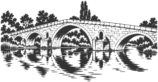
      A stone bridge over the Struma at Nevestino, built in the Islamic year 874 (1469-1470) on the orders of Grand Vizier Ishak Pasha. It has five granite arches, the highest in the middle, and the local legend: the bride walled into the central arch. Travelers described it as early as the 16th century, and more than five centuries later cars still cross it.

      Read about this sight →Show on map

    17. 17 Church of St. Mina

      Places of worship · Osogovo quarter · Kyustendil town

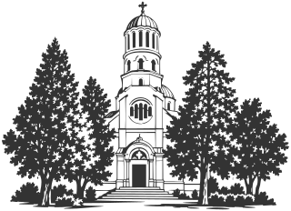
      The largest church in Kyustendil by area, a neo-Byzantine memorial church built in 1926-1933 and consecrated in 1934. It is considered a smaller version of the Alexander Nevsky Cathedral in Sofia. Inside are an iconostasis by the master carvers of Debar and murals by Apostol Hristov, and many traditions surround it: a healing holy spring, lost things found again, and men who stand on the left.
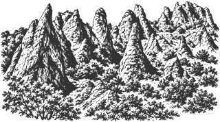
      Read about this sight →Show on map

    18. 18 Church of the Assumption

      Places of worship · Kyustendil town

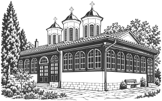
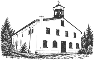
      Kyustendil’s first Revival-era church, built in 1816 and sunk about 3 m into the ground. Local church tradition identifies a medieval St. Nicholas as its predecessor. For many years it was the town’s cathedral; its courtyard held the first traditional church school, and Metropolitan Illarion of Lovech is buried inside. It keeps royal doors from the 16th-17th centuries, and during repairs in 2021 five layers of murals were found in its altar.

      Read about this sight →Show on map

    19. 19 The Iron Bridge

      Museums and buildings · Kyustendil town

      The bridge over the Banshtitsa on Bulgaria Boulevard was built in 1909 to a design by the architect Rudolf Fischer, to link the town center with the new railway station. In 1969 it was rebuilt in reinforced concrete and given four nude female figures in white Vratsa stone by the sculptor Lyuben Dimitrov. That is why locals also call it "the Bridge with the Naked Women."

      • Approximate time at the site: 10 min

      Read about this sight →Show on map

    20. 20 Acad. Yordan Ivanov Regional History Museum

      Museums and buildings · Kyustendil town

      The museum was founded on November 3, 1897, as a school collection at the Kyustendil Pedagogical School, which the museum itself calls the first museum collection in southwestern Bulgaria. Its main building is at 55 Bulgaria Blvd. There, in Asclepius Hall, are the archaeological and coin exhibitions, covering the 7th-6th millennium BC to the 17th century.

      • Approximate time at the site: 60 min

      Read about this sight →Show on map

    21. 21 Ahmed Bey Mosque

      Museums and buildings · Kyustendil town

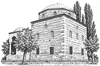
      An exhibition hall of the Regional History Museum in the former Ahmed Bey Mosque, right beside the Roman Thermae. It has housed a museum since 1944. The building has a wide dome and an entrance arcade under three small domes. The Ottomanist Machiel Kiel dates it to 1575-1577, while local sources say the mid-15th century.

      • Approximate time at the site: 30 min

      Read about this sight →Show on map

    22. 22 Fatih Mehmed Mosque

      Places of worship · Kyustendil town

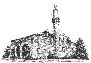
      A single-domed Ottoman mosque on Tsar Osvoboditel Blvd., with the only surviving minaret in Kyustendil, faced with hexagonal stones in brick frames like a honeycomb. The year 1531 is spelled out in brick on the drum below the dome, but the Ottomanist Machiel Kiel believes the mosque is older, from the time of Sultan Mehmed II. It is not in use, is propped up, and awaits restoration.

      Read about this sight →Show on map

    23. 23 Church of St. Demetrius

      Places of worship · Stambol Kapiya quarter · Kyustendil town

      A National Revival church in the eastern part of Kyustendil, in the old Stambol Kapiya quarter, built around 1864-1866. It was started by the teacher Dimitar Stoyanov, known as Daskal Dimitri, who also opened the town's second school in its yard. Many of the icons are by the Samokov painter Ivan Dospevski, and the icon of the patron saint is by Gavril Atanasov of Berovo.

      • Approximate time at the site: 20 min

      Read about this sight →Show on map

    24. 24 Prokopieva House

      Museums and buildings · Kyustendil town

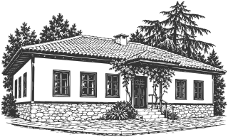
      The Regional History Museum calls it the oldest surviving National Revival town house in Kyustendil, from the late 18th century. It was built for the chorbadzhi Davidko, a merchant who had moved from Sofia. It is L-shaped, with an outside staircase, a chardak (open gallery), and carved ceilings by masters from Debar, and in the 1870s its east wing housed the town's Hellenic school.

      • Approximate time at the site: 10 min

      Read about this sight →Show on map

    25. 25 Georgi Goranov's House

      Museums and buildings · Kyustendil town

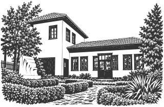
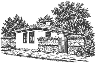
      The low white house at 2 Georgi Goranov Street is the birthplace of the composer Georgi Goranov (1882-1905), who wrote the music of "Druzhna Pesen," also known as the "Song of Labor." It was restored in the 1980s and holds a small museum collection.

      • Approximate time at the site: 10 min

      Read about this sight →Show on map

    26. 26 Sts. Cyril and Methodius Mutual School

      Museums and buildings · Kyustendil town

      The low building in the churchyard of the Church of the Assumption is Kyustendil's mutual school, built in 1849. Locals call it the Cell School (Kiliynoto uchilishte), although the earlier church school from the early 1820s was pulled down. The town's chitalishte was founded here in 1869, and today the hall with its painted ceiling opens for exhibitions and book launches.
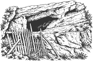
      • Approximate time at the site: 15 min

      Read about this sight →Show on map

    27. 27 Bratstvo 1869 Chitalishte

      Museums and buildings · Kyustendil town

      Kyustendil's chitalishte, its reading room and cultural center, was founded on July 1, 1869, in the mutual-school building. The town library, the theater, and the town's second museum collection all grew out of it. Its large building on the square, opened in 1907, was torn down in 1981; today Bratstvo 1869 works in a building north of Velbazhd Square and hosts an international classical guitar competition.

      • Approximate time at the site: 15 min

      Read about this sight →Show on map

    28. 28 Velbazhd Square

      Museums and buildings · Kyustendil town

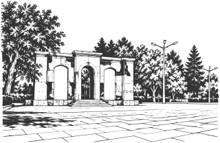
      Kyustendil's central square, about 110 by 50 m, was designed by the architect Hristo Kovachevski. Beneath it runs the main street of Roman Pautalia, today an archaeological monument of national importance. This was the southern edge of the Ottoman center, and it is where the town gathers for Kyustendil Spring and on August 15, for the blessing of the waters on the feast of the Dormition.

      • Approximate time at the site: 20 min

      Read about this sight →Show on map

    29. 29 Alay Bath

      Mineral water · Kyustendil town

      A small mineral bath at 22 Han Krum St., built on the foundations of an Ottoman bath. It was restored in 1912-1914 and rebuilt into its present form in 1928. It is also called the Soldiers' Bath. The municipality lists it as a recovery center with a sauna, a pool, and massage, and municipal orders document seasonal operation of the outdoor pool in 2020 and 2023.
      • Approximate time at the site: 20 min

      Read about this sight →Show on map

    30. 30 Hisarlaka Forest Park

      Nature and parks · Kyustendil town

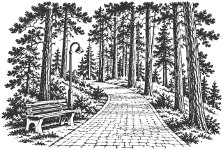
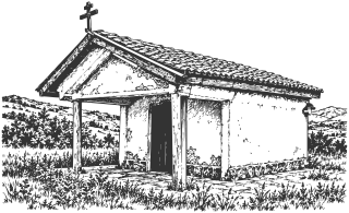
      A pine forest of about 1,300 decares (130 ha) on Hisarlaka Hill, south of the center of Kyustendil. The forester Yordan Mitrev began planting the bare, eroded hill in the spring of 1891. Today the park has paths, a chapel, a zoo, a rope park, and a fortress on top, and the town comes here to walk and to celebrate.

      Read about this sight →Show on map

    31. 31 Kyustendil Zoo

      Nature and parks · Hisarlaka Park · Kyustendil town

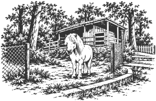
      The town's small municipal zoo in Hisarlaka forest park, next to the fortress. It was founded in 1962 and has been at its present site, east of Cheshmeto, since 1966. In 2021 it closed to visitors for lack of a license, and in August 2024 its reconstruction began, for 5.1 million leva.

      • Approximate time at the site: 45 min

      Read about this sight →Show on map

    32. 32 Pautalia Karting Track

      Nature and parks · Kyustendil town

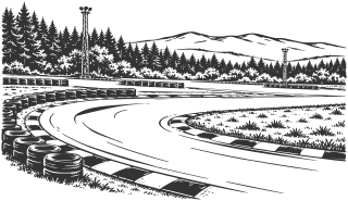
      A karting track in a pine forest in the southwestern part of Kyustendil, at 22 Studen Kladenets St. It was built in 1973 and extended to 1,050 m in 2013. It is lit for night driving and hosts rounds of the national championship and the 24-hour race EKO 24 Hours of Bulgaria.

      • Approximate time at the site: 60 min

      Read about this sight →Show on map

    33. 33 Vladimir Dimitrov-Maystora House Museum

      Museums and buildings · Shishkovtsi · Kyustendil Municipality outside town

      The house museum in Shishkovtsi tells the story of the people and places that entered Vladimir Dimitrov-Maystora’s paintings. Its photographic and documentary exhibition is maintained by the Kyustendil art gallery.

      • No separate on-site estimate

      Read about this sight →Show on map

    34. 34 Zemlangrad (Zemensko Kale)

      History · Zemen Gorge, above Polska Skakavitsa · Kyustendil Municipality outside town

      Zemlangrad stands above a bend of the Struma in Zemen Gorge. Its remains preserve traces of Late Antiquity, the Middle Ages, and later occupation, although a detailed history still requires access to the original excavation publications.

      • No separate on-site estimate

      Read about this sight →Show on map

    35. 35 Shegava River Canyon

      Nature and parks · Near Razhdavitsa · Kyustendil Municipality outside town

      The Shegava cuts through limestone terrain in Konyavska Mountain near Razhdavitsa. The gorge contains high rock walls, isolated stone formations, and a riverbed that remains dry for much of the year.

      • No separate on-site estimate

      Read about this sight →Show on map

    36. 36 St. John of Rila Cave

      Places of worship · Garbino, Svetata Voda locality · Kyustendil Municipality outside town

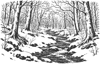
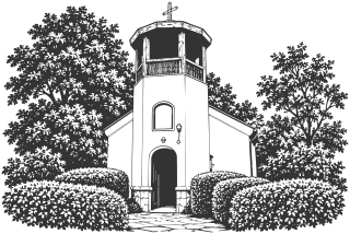
      The rock niche in Svetata Voda locality near Garbino is a revered place connected with traditions about St. John of Rila. Its prayer inscriptions and drawings were studied by Yavor Mitov in a publication of NAIM-BAS in 2017.
      • No separate on-site estimate

      Read about this sight →Show on map

    37. 37 Osogovo Ski Center

      Nature and parks · Osogovo Mountain, near Osogovo Hut · Kyustendil Municipality outside town

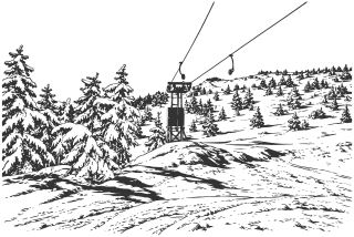
      The ski area near Osogovo Hut is Kyustendil’s winter sports center. Slopes of different difficulty, surface lifts, and a ski school make a day of skiing in the mountains possible.
      • No separate on-site estimate

      Read about this sight →Show on map
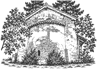
    38. 38 Tsarna Reka Nature Reserve

      Nature and parks · Osogovo Mountain, Sazhdenik village territory · Kyustendil Municipality outside town

      Tsarna Reka protects primary beech forests in the higher part of Osogovo Mountain. The reserve has strict access rules, and researchers also use it to compare preserved landscapes with areas affected by ore mining.

      • No separate on-site estimate

      Read about this sight →Show on map

    39. 39 Granichki Monastery of St. Luke

      Places of worship · Near Granitsa · Kyustendil Municipality outside town

      St. Luke Monastery above Granitsa is an active convent on Osogovo’s northern foothills. The present complex was restored in 1948, while traditions about its earlier origins connect the site with St. John of Rila and the restorers of Rila Monastery.
      • No separate on-site estimate

      Read about this sight →Show on map

    40. 40 Kopilovtsi Monastery of the Annunciation

      Places of worship · Kopilovtsi · Kyustendil Municipality outside town

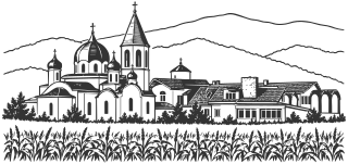
      The Annunciation Monastery near Kopilovtsi is a new complex built in the early 21st century. Its history combines church construction with the brotherhood’s agricultural work.

      • No separate on-site estimate

      Read about this sight →Show on map

    41. 41 St. Nicholas Church

      Places of worship · Slokoshtitsa · Kyustendil Municipality outside town

      The small St. Nicholas Church in Slokoshtitsa combines 16th-century masonry with paintings from its restoration in 1886. Above the entrance, the saint appears between the archangels Michael and Gabriel.

      • No separate on-site estimate

      Read about this sight →Show on map

    42. 42 St. Theodore Tyron Church

      Places of worship · Sovolyano · Kyustendil Municipality outside town

      St. Theodore Tyron Church in Sovolyano was built in 1834. The low, single-nave building is set below ground level, with three steps leading down inside, while its 1860 icons preserve a difficult-to-read painter’s signature.

      • No separate on-site estimate

      Read about this sight →Show on map

    43. 43 St. Archangel Michael Church

      Places of worship · Goranovtsi · Kyustendil Municipality outside town

      The small church near Goranovtsi preserves traces of rebuilding and two layers of wall painting. Angel Angelov’s study in Archaeology (2003) dates its first construction phase to the 15th-16th centuries, later than the widely repeated 13th-century date.

      • No separate on-site estimate

      Read about this sight →Show on map

    44. 44 Kutugertsi Monastery of St. Joachim of Osogovo

      Places of worship · Kutugertsi · Kyustendil Municipality outside town

      Kutugertsi Monastery preserves a church built in 1895 and an iconostasis dated 1905. The Sofia Metropolitanate records the church’s restoration and the resumption of worship in 2009; the older monastery’s foundation remains undated.

      • No separate on-site estimate

      Read about this sight →Show on map

    45. 45 St. Petka Church

      Places of worship · Tavalichevo · Kyustendil Municipality outside town

      At St. Petka, the older church has become the sanctuary of a larger building. Tsveta Kuneva of the Bulgarian Academy of Sciences’ Institute of Art Studies dates the early paintings to the late 16th or early 17th century and traces their uncovering in 2012-2013.

      • No separate on-site estimate

      Read about this sight →Show on map

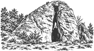
    46. 46 Proviralkyata Rock Sanctuary

      History · Lilyach · Other municipalities in the province · Nevestino Municipality

      Proviralkyata near Lilyach is a narrow natural opening between rocks, associated with local customs concerning health and fertility. A route reaches it past the reservoir and through Manastirishte locality; an ancient date remains unconfirmed by an accessible primary publication.

      • No separate on-site estimate

      Read about this sight →Show on map

    47. 47 Smolichano Monastery of Sts. Joachim and Anne

      Places of worship · Smolichano · Other municipalities in the province · Nevestino Municipality

      The Church of Sts. Joachim and Anne near Smolichano stands above a rock niche with a waterfall and holy spring. The tourism portal records renewal and repainting in 1888; published accounts disagree about its construction date.

      • No separate on-site estimate

      Read about this sight →Show on map

    48. 48 Gabra Managed Reserve

      Nature and parks · Vlahina Mountains, Tsarvaritsa · Other municipalities in the province · Nevestino Municipality

      Gabra is a managed reserve in the northwestern Vlahina Mountains, near Tsarvaritsa. It protects a natural black pine forest; the reserve and the neighboring Manolova Protected Site are separate territories.

      • No separate on-site estimate

      Read about this sight →Show on map

    49. 49 Mineral Water near Chetirtsi

      Mineral water · Chetirtsi · Other municipalities in the province · Nevestino Municipality

      A mineral-water borehole is documented in Topilata locality near Chetirtsi. Lazar Berov and Pavel Pentchev of the University of Mining and Geology reported 24 °C for this water source in 2014, distinguishing it from neighboring Barishteto.

      • No separate on-site estimate

      Read about this sight →Show on map

    50. 50 Rila Monastery

      Places of worship · Rila Mountains · Other municipalities in the province · Rila Municipality

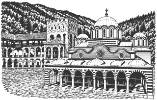
      Rila Monastery combines an active religious community, medieval Hrelyo’s Tower, and a National Revival church and residential wings. It entered UNESCO’s World Heritage List in 1983. The museums and Old Hermitage extend the story of St. John of Rila and monastic life.

      • Approximate time at the site: 180 min

      Read about this sight →Show on map

    51. 51 Kirilova Polyana

      Nature and parks · Above Rila Monastery · Other municipalities in the province · Rila Municipality

      Kirilova Polyana is an open area above Rila Monastery and a starting point for mountain walks. The nature park describes educational trails and a path intended for accessible visits; higher routes toward the lakes require separate planning.

      Read about this sight →Show on map

    52. 52 Kalin Reservoir

      Nature and parks · Rila Mountains, in Pastra’s lands · Other municipalities in the province · Rila Municipality

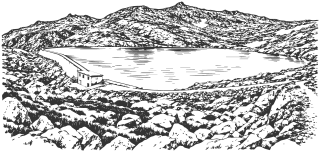
      Kalin Reservoir lies high in Rila at 2,394 m, according to NEK. It belongs to a shared hydropower system with Karagyol and Malak Kalin; the operator identifies Malak Kalin as Bulgaria’s highest reservoir.

      • No separate on-site estimate

      Read about this sight →Show on map

    53. 53 Seven Rila Lakes

      Nature and parks · Northwestern Rila · Other municipalities in the province · Sapareva Banya Municipality

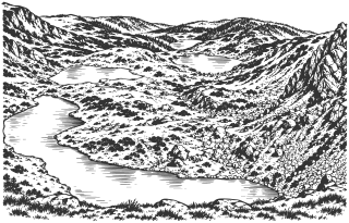
      The Seven Rila Lakes form a glacial group in northwestern Rila, between 2,095 and 2,535 m. They occupy successive mountain terraces, and a circuit requires a separate day and suitable conditions. Before travelling, check current chairlift operation and mountain hiking conditions.

      • No separate on-site estimate

      Read about this sight →Show on map

    54. 54 Sapareva Banya Geyser

      Mineral water · Sapareva Banya · Other municipalities in the province · Sapareva Banya Municipality

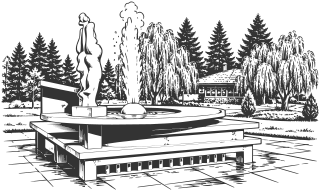
      The geyser fountain is Sapareva Banya’s thermal landmark. Hot water was discovered during drilling in 1957, and the municipality gives a source temperature of 103 °C. The fountain, steam, and neighboring sculpture form a stopping point for a short walk in the center.

      • No separate on-site estimate

      Read about this sight →Show on map

    55. 55 Goritsa Waterfall

      Nature and parks · Ovchartsi · Other municipalities in the province · Sapareva Banya Municipality

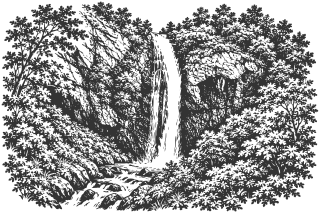
      Goritsa Waterfall lies above Ovchartsi, in Rila’s northern foothills. The municipality gives the fall’s height as 39 m and dates its designation as a natural monument to 1965. A forest approach leads toward a rock threshold viewed from the trail and observation area.

      • No separate on-site estimate

      Read about this sight →Show on map

    56. 56 Lake at Panichishte

      Nature and parks · Panichishte resort · Other municipalities in the province · Sapareva Banya Municipality

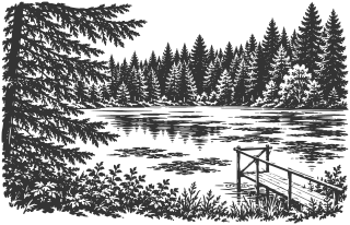
      The lake at Panichishte is a small water body in the forest resort above Sapareva Banya. The municipality describes it as having no surface outlet, with an area of 1.2 ha and a depth of up to 4 m. It is a short, separate stop, distinct from the high-mountain Seven Lakes circuit.

      • Approximate time at the site: 30 min

      Read about this sight →Show on map

    57. 57 Stob Pyramids

      Nature and parks · Stob · Other municipalities in the province · Kocherinovo Municipality

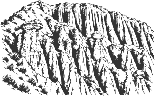
      The Stob Pyramids are earth columns, cones, and ridges above Stob, on Rila’s western slopes. Some carry stone caps. The natural monument is viewed along a walking route, while erosion continues to change its forms.

      • No separate on-site estimate

      Read about this sight →Show on map

    58. 58 Ruen Monastery of St. John of Rila

      Places of worship · Skrino · Other municipalities in the province · Boboshevo Municipality

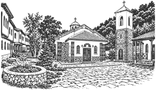
      Ruen Monastery of St. John of Rila stands above Skrino, in Tsarkovnika locality. Its present church was built in 1995-1998 and fully consecrated in 2003. Local tradition venerates the nearby cave as a place where St. John of Rila lived as a hermit in his early years.

      • No separate on-site estimate

      Read about this sight →Show on map

    59. 59 St. Theodore Church

      Places of worship · Boboshevo · Other municipalities in the province · Boboshevo Municipality

      Medieval St. Theodore stands near Boboshevo, on the Struma’s right bank. The church has a free-cross plan, and its construction date is disputed. Its later wall paintings are associated with the Kastoria artistic circle of the early 16th century; the old photographs do not establish its present condition.

      • No separate on-site estimate

      Read about this sight →Show on map

    60. 60 Clock Tower

      History · Dupnitsa · Other municipalities in the province · Dupnitsa Municipality

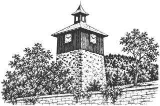
      The Clock Tower stands in Dupnitsa’s Town Garden above the center. Originally a defensive tower, it was adapted for a clock in the late 18th century. Its stone base, wooden level housing the clock, and pointed roof create a recognizable silhouette.

      Read about this sight →Show on map

    61. 61 Dyakovo Reservoir

      Nature and parks · Dyakovo · Other municipalities in the province · Dupnitsa Municipality

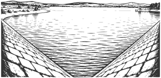
      Dyakovo Reservoir lies near the village of the same name in Dupnitsa Municipality. Its branching arms extend between low hills. The reservoir serves water supply, so landscape observation must respect restrictions around the water and installations.

      • Approximate time at the site: 30 min

      Read about this sight →Show on map

    62. 62 St. Elijah Church

      Places of worship · Granitsa · Kyustendil Municipality outside town

      The National Revival church in central Granitsa brings together stone architecture from 1856-1857, icons by Ivan Dospevski, and later wall paintings. It is a separate church from St. Luke’s Monastery above the village.

      • No separate on-site estimate

      Read about this sight →Show on map

    63. 63 Old Beech Woodland

      Nature and parks · Near Granitsa · Kyustendil Municipality outside town

      A small area of old beech woodland survives near St. Luke’s Monastery above Granitsa. Designated a protected locality in 1995, it can be visited together with the monastery.

      • No separate on-site estimate

      Read about this sight →Show on map

    64. 64 Matsakov Kamak

      Nature and parks · Above Vrattsa, Osogovo · Kyustendil Municipality outside town

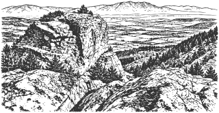
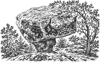
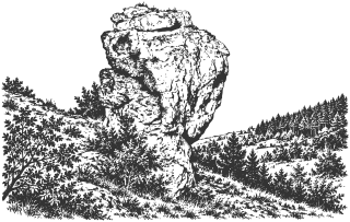
      Matsakov Kamak is a rock formation in the Osogovo Mountains above Vrattsa, overlooking the Kyustendil Valley. A forest track provides the approach, but older reports about its waymarks need checking on site.

      • No separate on-site estimate

      Read about this sight →Show on map

    65. 65 Boboshevo Monastery of St. Demetrius

      Places of worship · Above Boboshevo · Other municipalities in the province · Boboshevo Municipality

      The small Church of St. Demetrius survives from Boboshevo Monastery, preserving wall paintings from 1488. Its donor inscription and later graffiti record the monastery’s benefactors and visitors.

      • No separate on-site estimate

      Read about this sight →Show on map

    66. 66 St. Petka Church

      Places of worship · Vukovo · Other municipalities in the province · Boboshevo Municipality

      The small church in Vukovo preserves wall paintings dated to 1598 by a donor inscription. Its modest stone exterior encloses a much more elaborate painted program beneath a single vault.

      • No separate on-site estimate

      Read about this sight →Show on map

    67. 67 St. Nicholas Church

      Places of worship · Near Vukovo · Other municipalities in the province · Boboshevo Municipality

      St. Nicholas is a small stone church near Vukovo with partly preserved paintings from the second half of the 16th century. They include St. John of Rila, whose name is written in the vernacular form “Yovan.”

      • No separate on-site estimate

      Read about this sight →Show on map

    68. 68 Mali Ruen Peak

      Nature and parks · Osogovo · Kyustendil Municipality outside town

      Mali Ruen is Ruen’s high neighbor on the approach from the Bulgarian side of Osogovo. OpenStreetMap labels it Malak Ruen at 2,230 m; a museum publication also gives 2,241 m.

      • No separate on-site estimate

      Read about this sight →Show on map

    69. 69 Shapka Peak

      Nature and parks · Osogovo · Kyustendil Municipality outside town

      Shapka rises to about 2,188 m on Osogovo’s high ridge, between Tsarni Kamak and Mali Ruen. The photographs show its grassy summit, exposed slopes, and tracks passing below the peak.

      • No separate on-site estimate

      Read about this sight →Show on map

    70. 70 Tsarni Kamak Peak

      Nature and parks · Osogovo · Kyustendil Municipality outside town

      Tsarni Kamak, also labeled Tsaren Kamak, is an Osogovo peak with a cited elevation of 2,069 m. It forms part of the ridge between Kulitsite and Shapka, although summer trails to Ruen can traverse its slopes.

      • No separate on-site estimate

      Read about this sight →Show on map

    71. 71 Kulitsite Peak

      Nature and parks · Osogovo · Kyustendil Municipality outside town

      Kulitsite is a lower summit on Osogovo’s ridge between Choveko and Tsarni Kamak. Dinchev and Atanasov’s guide and OpenStreetMap give 1,862 m; the name refers to a separate site from Kulin Kamak near Kyunek.

      • No separate on-site estimate

      Read about this sight →Show on map

    72. 72 Choveko Peak

      Nature and parks · Osogovo · Kyustendil Municipality outside town

      Choveko, also called Choveka, rises to 2,047 m between Kyunek and the Prevala area in Osogovo. It is an important ridge junction and can be a separate hiking destination from Osogovo Hut.

      • No separate on-site estimate

      Read about this sight →Show on map

    73. 73 Kyunek Peak

      Nature and parks · Osogovo · Kyustendil Municipality outside town

      Kyunek is an Osogovo peak above Osogovo Hut, overlooking Choveko and the high ridge toward Ruen. The Osogovo Tourist Association and OpenStreetMap give 1,925 m; a guidebook and photographic labels also use 1,923 m.

      • No separate on-site estimate

      Read about this sight →Show on map

    74. 74 Pamuka Locality

      Nature and parks · Osogovo · Kyustendil Municipality outside town

      Pamuka is a mountain locality on the road to Osogovo Hut, associated with summer camps and walking routes. An approach to Kyunek was cleared by the Osogovo Tourist Association in 2022.

      • No separate on-site estimate

      Read about this sight →Show on map

    75. 75 Iliyska Cave (Golyamata Cave)

      Nature and parks · Between Vetren and Iliya, Ridinata locality · Other municipalities in the province · Nevestino Municipality

      Iliyska, Golyamata, and Vetrenska are names for the cave in Ridinata between Vetren and Iliya. It is a protected natural monument; the exact entrance needs verification, and the upper entrance requires specialist equipment.

      • No separate on-site estimate

      Read about this sight →Show on map

    76. 76 Boboshevski Ruen Peak

      Nature and parks · Ruen section of Vlahina · Other municipalities in the province · Boboshevo Municipality

      Boboshevski Ruen is a 1,134 m summit in the Ruen section of Vlahina. Approaches of different lengths start at Ruen Monastery and Boboshevo Monastery.

      • No separate on-site estimate

      Read about this sight →Show on map

    77. 77 Sts. Cosmas and Damian Church

      Places of worship · Marvodol · Other municipalities in the province · Nevestino Municipality

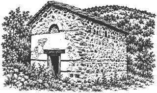
      South of Marvodol are the remains of a small cross-domed church, probably from the second half of the 14th century. Its tall apse survives best; check access beside the stream locally.

      • No separate on-site estimate

      Read about this sight →Show on map

    78. 78 Holy Trinity Church

      Places of worship · Pastuh · Other municipalities in the province · Nevestino Municipality

      Holy Trinity is a small late medieval church on the Struma’s left bank at Pastuh. Its three-conch plan and wall-painting fragments recorded in older photographs distinguish it from the area’s other churches.

      • No separate on-site estimate

      Read about this sight →Show on map

    79. 79 St. Spas Chapel

      Places of worship · Near Vukovo · Other municipalities in the province · Boboshevo Municipality

      The small St. Spas Chapel stands near Vukovo, separately from the old St. Petka and St. Nicholas churches. The Osogovo Tourist Association records a visit during a walk in March 2018.

      • No separate on-site estimate

      Read about this sight →Show on map

    80. 80 St. Archangel Michael Chapel

      Places of worship · Boboshevo, Ruen slopes · Other municipalities in the province · Boboshevo Municipality

      St. Archangel Michael Chapel stands on the southern Ruen slopes outside Boboshevo. Catalog descriptions connect it with an older church on the same site, but do not establish an exact construction year.

      • No separate on-site estimate

      Read about this sight →Show on map

    81. 81 Dormition of the Mother of God Chapel

      Places of worship · Boboshevo, Miladinski Poroy · Other municipalities in the province · Boboshevo Municipality

      The Dormition Chapel, also known as Sv. Bogoroditsa, stands in Miladinski Poroy outside Boboshevo. The small building with an open porch is separate from the large town church with the same dedication.

      • No separate on-site estimate

      Read about this sight →Show on map

    82. 82 Vsevizhdashtiyat Rock

      Nature and parks · Granchar locality, near Dolna Koznitsa · Other municipalities in the province · Nevestino Municipality

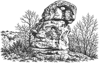
      Vsevizhdashtiyat is a rock with an opening near its top, among stone formations in Granchar near Dolna Koznitsa. It can be visited with the neighboring Cherna Niva group on an unmarked route.

      • No separate on-site estimate

      Read about this sight →Show on map

    83. 83 Cherna Niva Rock Group

      Nature and parks · Granchar locality, near Dolna Koznitsa · Other municipalities in the province · Nevestino Municipality

      Cherna Niva is a rock group in Granchar locality near Dolna Koznitsa, close to Vsevizhdashtiyat. The published field route connects the two across a ravine without permanent waymarks.

      • No separate on-site estimate

      Read about this sight →Show on map

    84. 84 Viden Peak

      Nature and parks · Konyavska Mountain · Kyustendil Municipality outside town

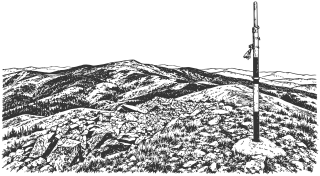
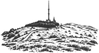
      Viden is Konyavska Mountain’s highest peak, at 1,487 m. The approach beside the television tower combines open views, a stop at Marinovi Skali, and limestone habitats documented in scientific and conservation sources.

      • No separate on-site estimate

      Read about this sight →Show on map

    85. 85 Poletinski Kamak

      Nature and parks · Near Poletintsi · Kyustendil Municipality outside town

      Poletinski Kamak is a rocky viewpoint near Poletintsi village. Its distinctive view combines an open rock foreground with the wooded ridges of the Kyustendil Kraishte region.

      • No separate on-site estimate

      Read about this sight →Show on map

    86. 86 Church of the Dormition

      Places of worship · Treklyano · Other municipalities in the province · Treklyano Municipality

      A church built in 1860 by Todorova Mahala in Treklyano. An older monastic history lies behind the Revival building, although the monastery’s precise location remains unestablished.

      • No separate on-site estimate

      Read about this sight →Show on map

    87. 87 Holy Trinity Church

      Places of worship · Frolosh · Other municipalities in the province · Kocherinovo Municipality

      Frolosh’s village church is dedicated to the Holy Trinity. Kocherinovo Municipality dates its construction to 1876; the building’s detailed history and decoration still require investigation.

      • No separate on-site estimate

      Read about this sight →Show on map

    88. 88 Momata Rock Formation

      Nature and parks · Gabreshevo locality, near Korkina · Other municipalities in the province · Bobov Dol Municipality

      Momata is a rock formation described near the vanished village of Gabreshevo in the Korkina area. Map locations disagree, and the precise rock still needs confirmation.

      • No separate on-site estimate

      Read about this sight →Show on map

    89. 89 Trite Kuli Fortress

      History · Near Razhdavitsa, Zemen Gorge · Kyustendil Municipality outside town

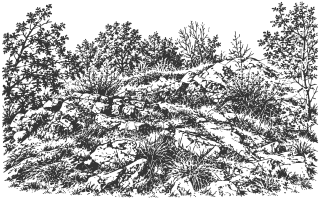
      A small fortress ruin above the Struma northwest of Razhdavitsa. Trite Kuli is described separately from the main fortress of Zemlangrad, while its walking approach still requires verification.

      • No separate on-site estimate

      Read about this sight →Show on map

    90. 90 Chukata Peak

      Nature and parks · Chudinska Mountains · Kyustendil Municipality outside town

      Chukata is a distinct 1,328 m peak in the Chudinska Mountains. The nearby route toward Aramliya passes below it, while reaching the summit requires a detour.

      • No separate on-site estimate

      Read about this sight →Show on map

    91. 91 Kovachitsa Peak

      Nature and parks · Chudinska Mountains · Kyustendil Municipality outside town

      Kovachitsa is a 1,392 m peak in the Chudinska Mountains, in the area above Ivanovtsi. It is distinct from nearby Chukata and is not the range’s highest summit.

      • No separate on-site estimate

      Read about this sight →Show on map

    92. 92 St. Nedelya Church Remains

      Places of worship · Near Vaksevo · Other municipalities in the province · Nevestino Municipality

      St. Nedelya is a small church ruin in Selishte near Vaksevo. Low foundations and overgrowth make it difficult to distinguish, and its dating remains approximate.

      • No separate on-site estimate

      Read about this sight →Show on map

    93. 93 Gradishte Fortress

      History · Near Eremiya · Other municipalities in the province · Nevestino Municipality

      Gradishte is a fortified hill southwest of Eremiya. The catalog assigns it to Late Antiquity and describes stone walls, but a precise construction chronology has not been established here.

      • No separate on-site estimate

      Read about this sight →Show on map

    94. 94 Gradishteto near Pastuh

      History · Skaleto locality, near Pastuh · Other municipalities in the province · Nevestino Municipality

      The fortress hill at Skaleto near Pastuh is often called Zhitomisk. That historical identification is a hypothesis and should be distinguished from the visible remains themselves.

      • No separate on-site estimate

      Read about this sight →Show on map

    95. 95 Mother of God Votive Site

      Places of worship · Near Tavalichevo · Kyustendil Municipality outside town

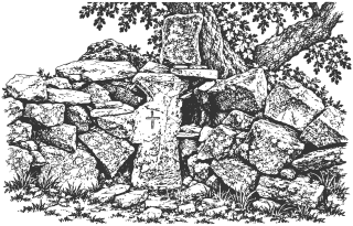
      The Mother of God votive site near Tavalichevo is described as a stone cross beneath an old oak. An Early Christian church at this precise location has not been confirmed.

      • No separate on-site estimate

      Read about this sight →Show on map

    96. 96 Old Church of the Dormition

      Places of worship · Near Razhdavitsa · Kyustendil Municipality outside town

      The small old Church of the Dormition stands outside Razhdavitsa at Selishte. Its restored structure retains fragments of older painting and is separate from the modern village church of the same dedication.

      • No separate on-site estimate

      Read about this sight →Show on map

    97. 97 Pichata Dupka Rock Formation

      Nature and parks · Near Vukovo · Other municipalities in the province · Boboshevo Municipality

      A small through-cave in a rock above Vukovo, also known as Vulvata or Utrobata. A cave survey has been published, but ancient ritual use has not been demonstrated.

      • No separate on-site estimate

      Read about this sight →Show on map

    98. 98 Yellow Rocks

      Nature and parks · Near Golyam Varbovnik · Other municipalities in the province · Bobov Dol Municipality

      A yellowish rock group near Golyam Varbovnik, presented in a recent travel video. Detailed geology and the precise approach remain to be established.

      • No separate on-site estimate

      Read about this sight →Show on map

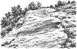
    99. 99 Gradishteto

      History · Near Golyam Varbovnik · Other municipalities in the province · Bobov Dol Municipality

      A fortified hill above Kuklata, associated with Razmetanitsa traditions about Samuel and Aaron. Archaeological chronology and precise outlines remain unresolved.
      • No separate on-site estimate

      Read about this sight →Show on map

    100. 100 Kuklata Rock

      Nature and parks · Near Golyam Varbovnik · Other municipalities in the province · Bobov Dol Municipality

      Kuklata is a rock below Gradishteto near Golyam Varbovnik. The maiden legend is recorded in differing versions, and the precise approach requires local confirmation.

      • No separate on-site estimate

      Read about this sight →Show on map

    101. 101 St. Nicholas Churches

      Places of worship · Upper quarter of Korkina · Other municipalities in the province · Bobov Dol Municipality

      The older Revival church and its newer namesake stand at Milchanets in Korkina’s upper quarter. The old roof collapsed in 1988; the new church was consecrated in 2006.

      • No separate on-site estimate

      Read about this sight →Show on map

    102. 102 Gradishteto near Polska Skakavitsa

      History · Zemen Gorge · Kyustendil Municipality outside town

      A separate fortified hill on the Struma’s right bank, south of Zemensko Kale. Some maps label it Zemenchansko Gradishte, but the precise match with the described remains is unresolved.

      • No separate on-site estimate

      Read about this sight →Show on map

    103. 103 Dormition Church at Yamborano

      Places of worship · Dragovishtitsa · Kyustendil Municipality outside town

      A stone Revival church dating to 1859 in former Yamborano, now Dragovishtitsa. Icons and wall paintings have separate dates, and the building’s condition requires checking before a visit.

      • No separate on-site estimate

      Read about this sight →Show on map

    104. 104 Chudinska Mountains

      Nature and parks · Kyustendil Kraishte · Kyustendil Municipality outside town

      A border range in Kraishte with pasture-covered ridges, river valleys, and Aramliya as its highest peak. This page provides geographical context and distinguishes individual routes and summits.

      • No separate on-site estimate

      Read about this sight →Show on map

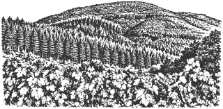
    105. 105 Kulata Fortress

      History · Near Dragoychintsi · Other municipalities in the province · Treklyano Municipality

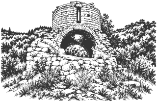
      A medieval fortress with remains of a rectangular tower near Dragoychintsi. The municipal plan confirms the site, while local historical literature preserves older descriptions and a siege legend.
      • No separate on-site estimate

      Read about this sight →Show on map

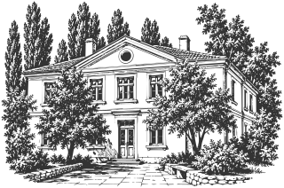
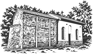
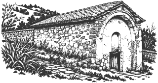
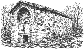
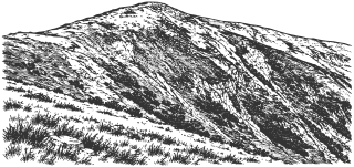
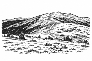
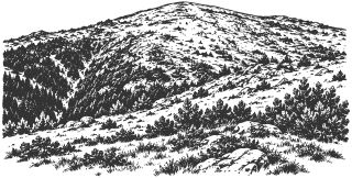
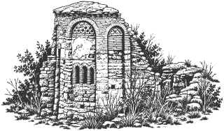
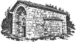
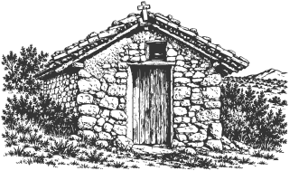
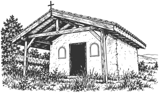
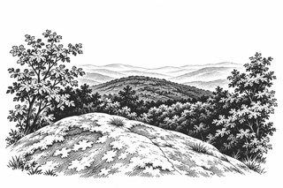
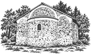
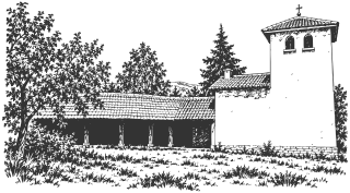
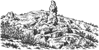
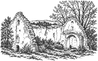
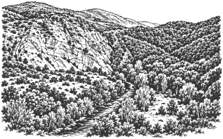
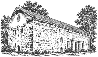
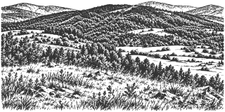
    Drawings are illustrations for orientation; photographs document the sights at the stated date. Drawing credits and reuse terms are listed on the About page.