84Nature and parks · Konyavska Mountain
Viden Peak
Your visit at a glance
- Address
- Viden section of Konyavska Mountain, above Tsarvenyano
- Approximate time for the whole walking outing
- about 4 hours
- Visiting conditions
- No verified information found
- Admission
- No verified information found
The image could not load. Its caption and source remain available.

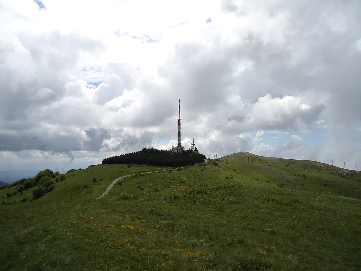
Viden is Konyavska Mountain’s highest peak, at 1,487 m. The approach beside the television tower combines open views, a stop at Marinovi Skali, and limestone habitats documented in scientific and conservation sources.
Hours, admission, and directions ↓
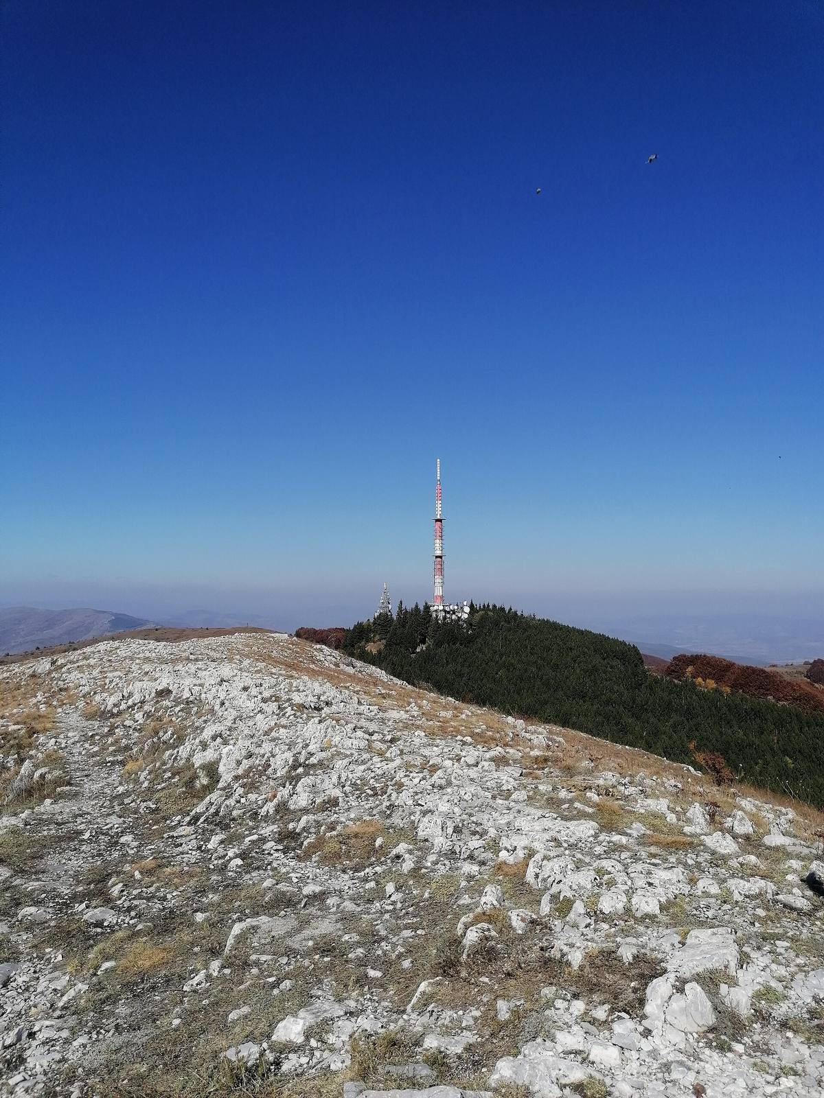
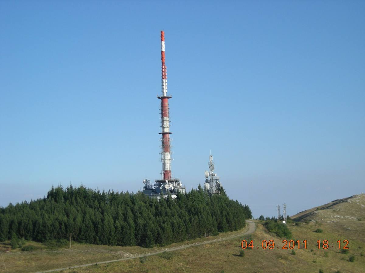
Viden is the highest peak of Konyavska Mountain. The municipal tourism portal and the named OpenStreetMap point give an elevation of 1,487 m. It rises above Tsarvenyano near the television tower, but the tower and summit are separate places. A short section on foot across rocky ground connects them.
Konyavska Mountain from the ridge
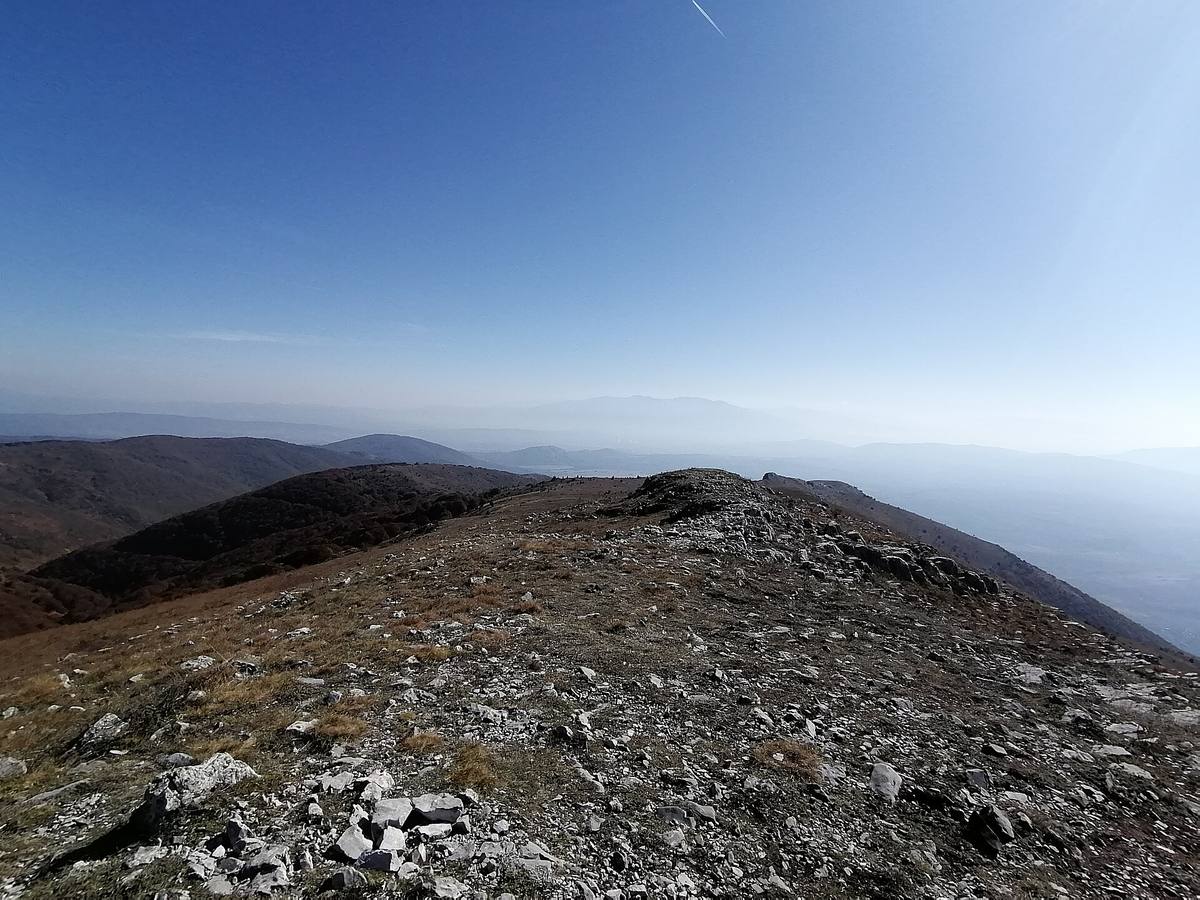
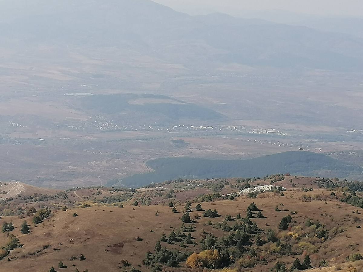
↗The tourism portal places Viden in the Viden section, one of the mountain’s four described divisions. Pateka’s field route, published in May and updated in June 2026, describes a panorama toward the Kyustendil area, Osogovo, Rila, Vitosha, and other mountains in clear weather. The gallery records different viewpoints and years rather than conditions guaranteed on every visit.
The television tower is a prominent landmark on the approach. The paved road leads toward it; Pateka gives about ten minutes on foot for the final 300 m to Viden. Following the road to its end does not itself reach the summit.
Limestone and living habitats
↗The Ministry of Environment and Water’s conservation objectives for the Konyavska Mountain protected zone (2024) describe low thorny shrub communities on Viden’s eastern ridge slope and the saddle toward Trigrad. The document identifies karstified Upper Triassic limestone as the bedrock. Astragalus angustifolius forms dense cushions. The rocky slope supports particular vegetation rather than being empty ground between viewpoints.
In their action plan for Verbascum anisophyllum (2014), Stoyan Stoyanov and Valentina Goranova of the Bulgarian Academy of Sciences’ biodiversity institute describe populations in the Viden section and near Tsarvenyano. The plant is a Balkan endemic, classified in the plan as critically endangered. The documented localities include lower slopes; they do not establish that visitors will see the plant on the summit itself. These are regional findings, not a field checklist for the entire route.
The bench at Marinovi Skali
↗The scenic bench at Marinovi Skali forms part of the Viden approach. Pateka places it at Marinovi Skali, on a sharp bend above Klaparovtsi hamlet. It offers views toward Kyustendil and Osogovo. The bench is an intermediate stop and can serve as a shorter destination without continuing to Viden.
For the continuation from the bench to the summit, the source gives about 3 km and 55 minutes uphill. The section begins through woodland before reaching open ground higher up. No suitable freely licensed photograph of the bench itself was found; it has not been replaced with a picture of another place.
Starting points and time
↗The longest described option begins at Strazhata in the Konyavski Pass, beside Darvenata Kashta restaurant. Pateka gives about 6.5 km, 470 m of ascent, and an hour and 40 minutes to the summit. Allow about four hours including the return and stops. Shorter options begin at Klaparovtsi, the bench, or the tower area, depending on access.
The road is narrow, with damaged pavement in places. The account describes electric livestock fences and long exposed sections. Check local restrictions and do not treat an older description as guaranteed vehicle access. Carry water: during the visit described in 2026, the fountain along the route was dry.
Photos and related images
The image could not load. Its caption and source remain available.

The image could not load. Its caption and source remain available.

The image could not load. Its caption and source remain available.

The image could not load. Its caption and source remain available.

Sources
(6)
A date may refer to construction, renewal, or another stated stage. Legends are accounts recorded in sources, rather than established events. Bibliography links help locate the named author; no automatic reference is added where the match is ambiguous.
- Стоян Стоянов, Валентина Горанова, ИБЕИ-БАН. План за действие за опазване на анасонов лопен в България, 2014-2023, МОСВ, 2014, с. 8PDF document · Bulgarian · moew.government.bg
Source address
https://www.moew.government.bg/static/media/ups/tiny/file/Nature/Biodiversity/Protected_specie/Action_Plans/AP_PLANTS/Verbascum_anisophyllum_AP_RD493-26062014.pdf
If a link does not open, use its title, author, and address to search, or consult another listed source.
- МОСВ. Специфични и подробни цели на опазване на ЗЗ BG0000298 „Конявска планина“, заповед № РД-570/27.06.2024, раздел 1.1, PDF с. 7PDF document · Bulgarian · moew.government.bg
Source address
https://www.moew.government.bg/static/media/ups/articles/attachments/BG0000298_Konyavska_planina_specifichni_tseli_zap12abab502f887098501ec25af850bcc9935.pdf
If a link does not open, use its title, author, and address to search, or consult another listed source.
- Туристическа дестинация Кюстендил. Конявска планинаOnline source · Bulgarian · visit-kyustendil.eu
Source address
https://www.visit-kyustendil.eu/planinski-turizam/konqvska-planina
If a link does not open, use its title, author, and address to search, or consult another listed source.
- Пътека. Връх Виден, маршрут в Конявска планина, 18.05.2026, обновен на 26.06.2026Online source · Bulgarian · pateka.im
Source address
https://pateka.im/viden/
If a link does not open, use its title, author, and address to search, or consult another listed source.
- OpenStreetMap: node/26865084, ВиденMap record · Bulgarian · openstreetmap.org
Source address
https://www.openstreetmap.org/node/26865084
If a link does not open, use its title, author, and address to search, or consult another listed source.
- OpenStreetMap: node/11155408076, пейката по подходаMap record · Bulgarian · openstreetmap.org
Source address
https://www.openstreetmap.org/node/11155408076
If a link does not open, use its title, author, and address to search, or consult another listed source.