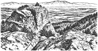
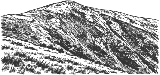
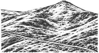
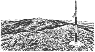
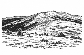
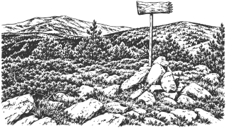
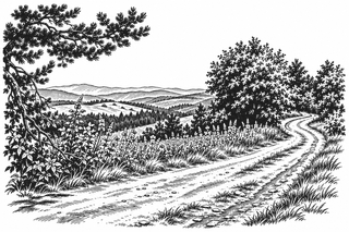
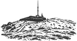
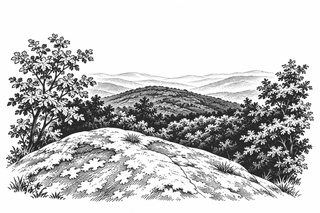
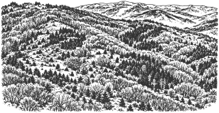
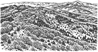
Kyustendil lies in a valley ringed by mountains: Osogovo to the south, Lisets and Chudinska to the west, Zemenska to the north, and Konyavska to the east. The places in this chapter extend from the town and valley into Osogovo, Vlahina, Konyavska, and the Rila Mountains.
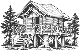
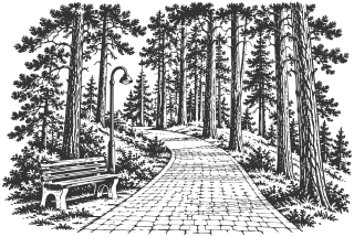
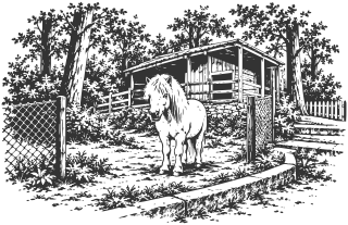
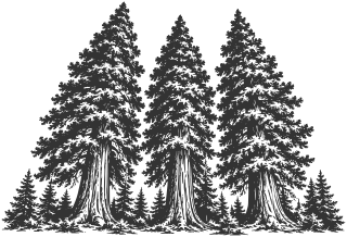
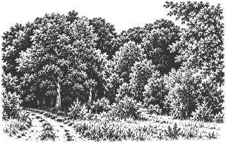
Closest is Hisarlaka. In 1891 the forester Yordan Mitrev began planting the bare, eroded hill above the town. Today, among its pines, stands the House of Baba Yaga, the playground that generations of people in Kyustendil remember. Mitrev also planted the three giant sequoias at Yuchbunar, now more than 30 m tall. In 2018 they represented Bulgaria in the European Tree of the Year contest.
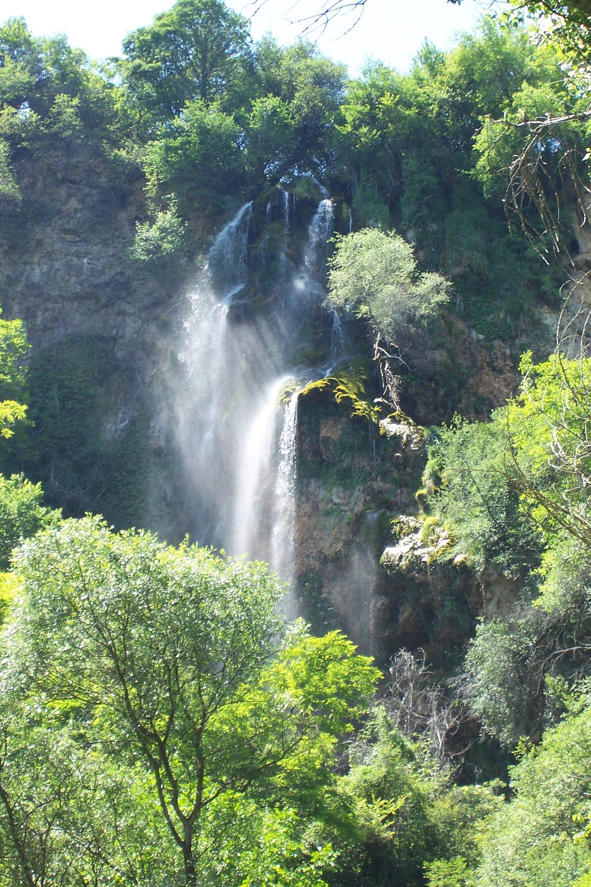
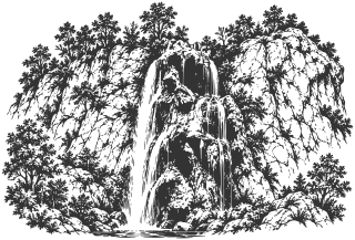
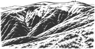
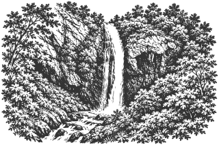
Farther out are the Polska Skakavitsa Waterfall, about 53 m high, in the Zemen Gorge of the Struma, and Ruen Peak, at 2,251 m the highest point of Osogovo. From Kyustendil you can reach it in a day.
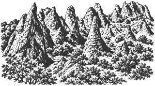
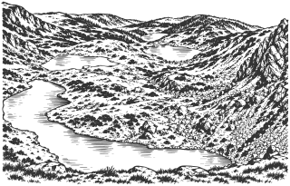
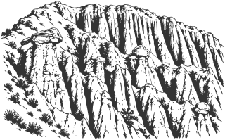
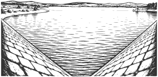
Tsarna Reka and Gabra reserves protect different natural forests under separate access rules. Shegava Canyon and the Stob Pyramids reveal rock and earth formations, while Goritsa, Kirilova Polyana, Panichishte, and the Seven Rila Lakes lead into Rila. Kalin and Dyakovo reservoirs also serve economic functions. A short stop, a mountain hike, and a visit to a protected area require different planning.
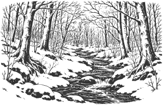
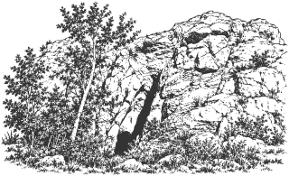
The small protected beech woodland near the monastery above Granitsa invites a slow look at old trees. Matsakov Kamak above Vrattsa offers a separate walk to Osogovo’s rock masses; older descriptions of the blue waymarks need checking on the ground.
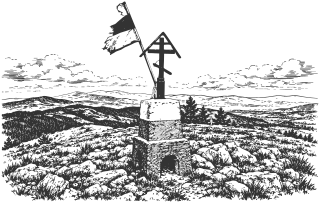
Osogovo’s Mali Ruen, Shapka, Tsarni Kamak, Kulitsite, Choveko, and Kyunek peaks also have separate accounts. Trails toward Ruen can pass below some of them, so walking through the area differs from climbing each summit.
Pamuka connects the history of summer recreation with paths toward Osogovo’s ridge. Boboshevski Ruen in Vlahina is a different summit from Ruen in Osogovo. Iliyska Cave, also called Golyamata or Vetrenska, is discussed together with its official protected name, “Cave in Ridinata locality”; reaching and entering it require separate preparation.
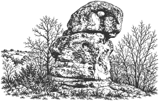
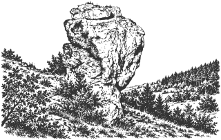
Vsevizhdashtiyat and Cherna Niva are two nearby rock groups near Dolna Koznitsa, connected by an unmarked walk. Their ancient ritual use remains unconfirmed. Viden, Konyavska Mountain’s highest peak, combines broad views with limestone habitats; the bench at Marinovi Skali is a stop along the approach.
In the Chudinska Mountains, Chukata and Kovachitsa are two distinct summits near the Aramliya route; following the published track does not mean climbing each peak. Conflicting map points for Momata Rock near Korkina still require local verification.
Above Vukovo, Pichata Dupka is a small through-cave below St. Spas Chapel. The 2019 cave survey records the passage and its dimensions; accounts of ancient ritual use remain unconfirmed.
Near Golyam Varbovnik, Kuklata and the Yellow Rocks are separate natural formations, while nearby Gradishteto is a fortified site. The Chudinska Mountains also have an overview of terrain, Aramliya, and route choices, complementing the Chukata and Kovachitsa pages.