38Nature and parks · Osogovo Mountain, Sazhdenik village territory
Tsarna Reka Nature Reserve
Your visit at a glance
- Address
- Upper Tsarna Reka valley, Osogovo Mountain
- Suggested time; scope not confirmed
- about 4 hours
- Visiting conditions
- No verified information found
- Admission
- No verified information found
The image could not load. Its caption and source remain available.

Tsarna Reka protects primary beech forests in the higher part of Osogovo Mountain. The reserve has strict access rules, and researchers also use it to compare preserved landscapes with areas affected by ore mining.
Hours, admission, and directions ↓
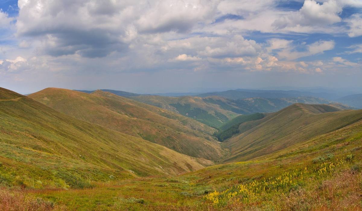
The Tsarna Reka valley and its forests are visible from Osogovo’s high slopes. Beech is the reason this part of the mountain became a reserve: the aim is to preserve natural communities and the processes within them. This also determines how the site may be visited.
What is protected
↗The High Conservation Value Forests report of Osogovo State Hunting Enterprise, updated in 2020, identifies the conservation of primary beech communities as the reserve’s purpose. It lies within Sazhdenik village territory and is managed by the Pernik environmental inspectorate. Administration by an inspectorate in Pernik does not change its location: it is in Kyustendil Municipality and Province.
A 2017 field account in Geograf.BG describes forest dominated by European beech, with individual sycamore maples and black alders. Listed ground plants include sweet woodruff, wood cranesbill, and greater wood-rush. This describes the forest community. It does not justify presenting the reserve as fir and spruce forest simply because those trees occur elsewhere in Osogovo.
An old tree is only the visible part of this natural system. Shade beneath the canopy, the river valley, soils, and relationships between plants and animals also matter. Conserving the entire community explains the strict regime.
From 1980 to the recorded area
↗The reserve was designated by Order No. 876 of November 25, 1980. The forestry report records an area change under Order RD-834 of September 20, 2010, and an area of 196.43 ha. This administrative information is more appropriate than the rounded 197 ha in older tourism descriptions.
Tsarna Reka is a strict reserve, rather than a maintained reserve. Surrounding Zeleniya Rid is a separate protected locality derived from the former buffer zone. The names appear together in documents and routes but have different boundaries and rules. Walking in the surrounding mountain does not necessarily mean entering the reserve itself.
Comparing the reserve with mining areas
↗Dimitar Zhelev, Rumen Penin, and Tanya Stoilkova published The Footprint of Ore Mining in the Annual of Sofia University, Faculty of Geology and Geography, book 2, volume 112 (2019). They studied heavy metals in river sediments in the Bulgarian part of Osogovo. Their sampling included the upper Tsarna Reka inside the reserve, allowing comparison with sections affected by mining.
For the trace elements studied, reserve samples showed background values. Within that analysis, they did not show the pollution characteristic of some mining sections. This is not a certificate for every water source or location in the mountain, nor advice to drink from the river. It demonstrates the scientific value of a preserved area against which human impacts can be assessed.
Such comparisons help explain Osogovo beyond its attractive panoramas. The mountain bears traces of mining, forestry, settlements, and tourism. The reserve preserves a section where natural processes take priority.
Osogovo and protected zones
↗The Bulgarian Biodiversity Foundation treats Osogovo as a cross-border natural area. Its Bulgarian part includes Natura 2000 sites and smaller protected territories, including Tsarna Reka. A Natura 2000 site, a protected locality, and a strict reserve are not interchangeable terms. When planning a walk, establish which of them the route crosses.
Visiting along an authorized route
↗The forestry report permits passage along marked trails, including for educational purposes, alongside protection work and scientific visits. This is not general permission to roam, collect plants, or camp in the forest. For a route through the reserve, contact the Pernik environmental inspectorate and confirm which trails are designated for passage.
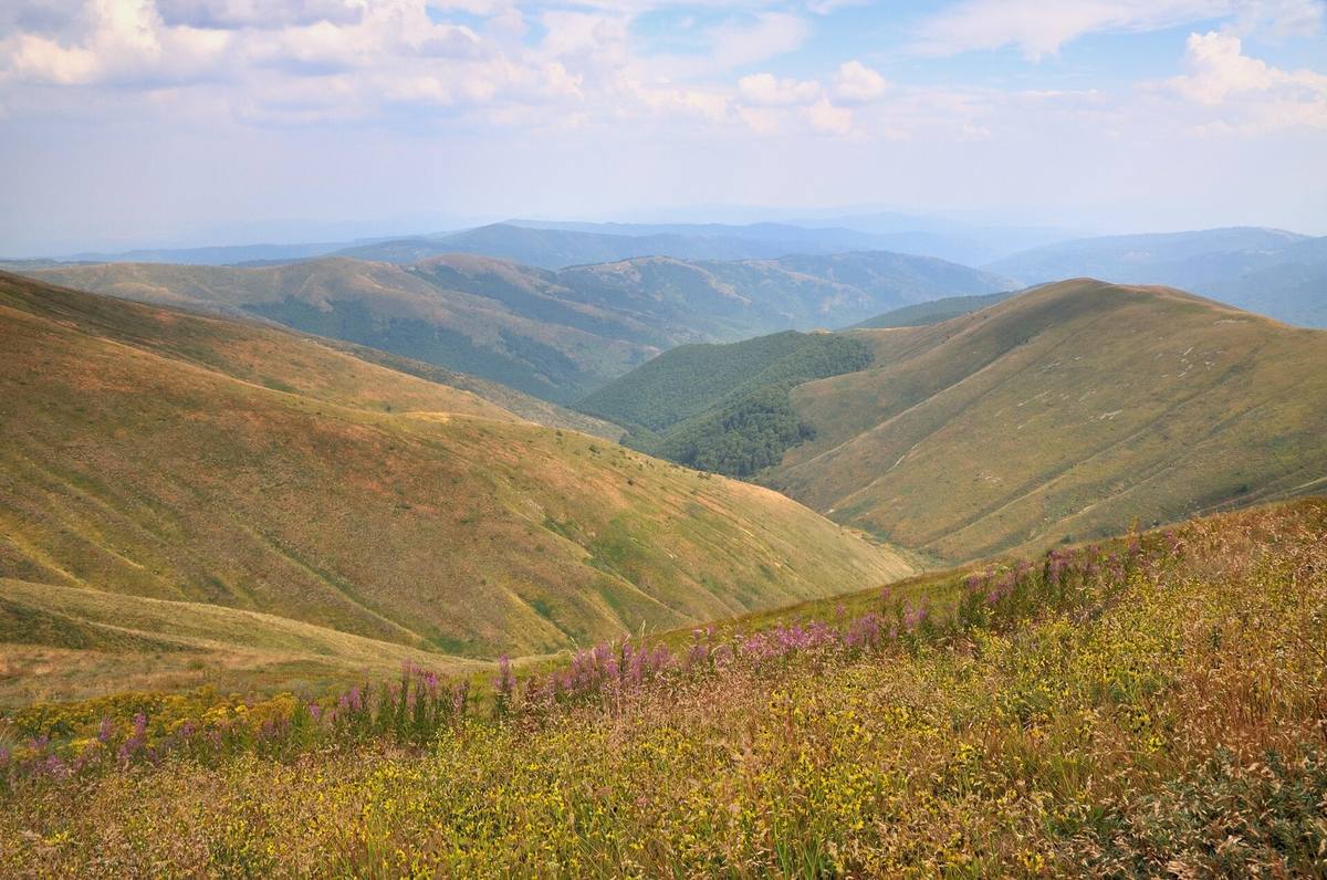
The map pin marks the middle of the OpenStreetMap boundary. It does not identify an entrance, parking area, or authorized trail. Allow a mountain walk of several hours, depending on the confirmed route. Panoramic photographs show the valley and surrounding slopes but are not a map of the administrative boundary.
Photos and related images
The image could not load. Its caption and source remain available.

Sources
(5)
A date may refer to construction, renewal, or another stated stage. Legends are accounts recorded in sources, rather than established events. Bibliography links help locate the named author; no automatic reference is added where the match is ambiguous.
- Гори с висока консервационна стойност, ТП ДЛС „Осогово“, актуализация 2020, с. 8-9PDF document · Bulgarian · docs.uzdp.bg
Source address
https://docs.uzdp.bg/7/documents/doklad_oso-vks-2-2020_publikaciq-162127393869.pdf
If a link does not open, use its title, author, and address to search, or consult another listed source.
- Димитър Желев, Румен Пенин, Таня Стоилкова. Отпечатъкът на рудодобива, Годишник на СУ, ГГФ, кн. 2, т. 112, 2019, 146-159PDF document · Bulgarian · uni-sofia.bg
Source address
https://www.uni-sofia.bg/index.php/bul/content/download/249069/1642716/version/1/file/09_Ann_Tom_112_geography_146-159.pdf
If a link does not open, use its title, author, and address to search, or consult another listed source.
- Из резервата „Църна река“ и Осоговската планина, Географ.БГ, 9.08.2017Online source · Bulgarian · geograf.bg
Source address
https://geograf.bg/bg/article/iz-rezervata-crna-reka-i-osogovskata-planina
If a link does not open, use its title, author, and address to search, or consult another listed source.
- Осогово, Българска фондация БиоразнообразиеOnline source · Bulgarian · biodiversity.bg
Source address
https://biodiversity.bg/bg/Osogovo.c205
If a link does not open, use its title, author, and address to search, or consult another listed source.
- OpenStreetMap: relation/4265024Map record · Language not specified · openstreetmap.org
Source address
https://www.openstreetmap.org/relation/4265024
If a link does not open, use its title, author, and address to search, or consult another listed source.