69Nature and parks · Osogovo
Shapka Peak
Your visit at a glance
- Address
- Osogovo’s high ridge, between Tsarni Kamak and Mali Ruen
- Approximate time for the whole walking outing
- about 6 hours
- Visiting conditions
- No verified information found
- Admission
- No verified information found

The image could not load. Its caption and source remain available.

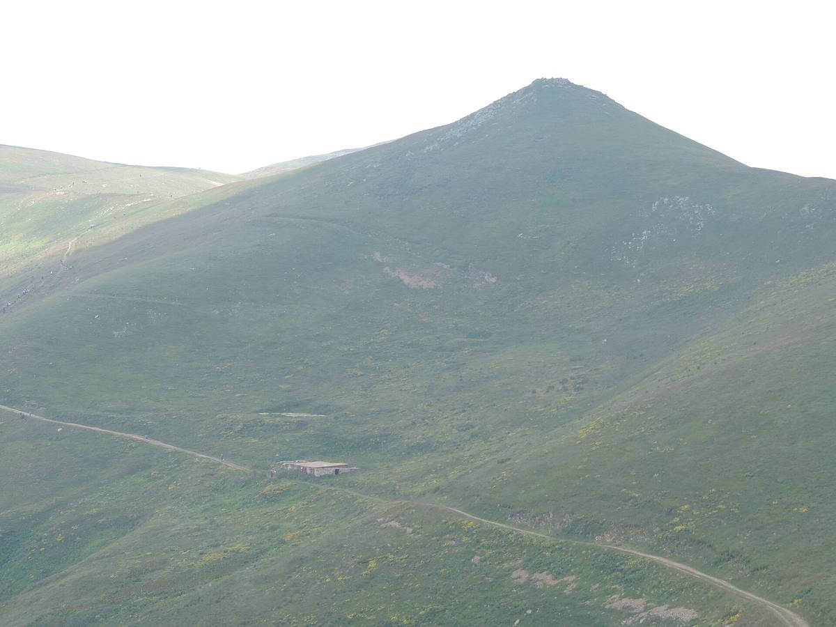
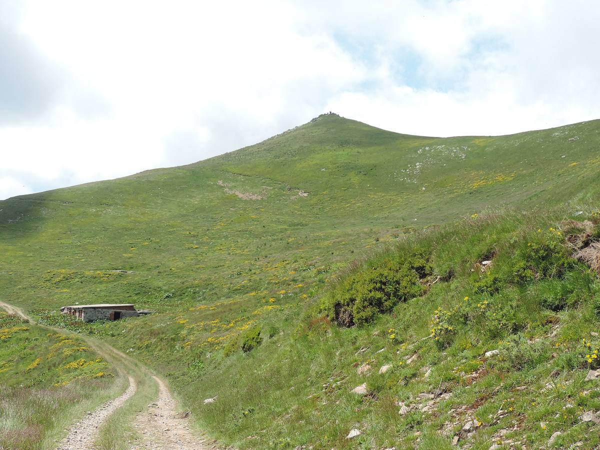
Shapka rises to about 2,188 m on Osogovo’s high ridge, between Tsarni Kamak and Mali Ruen. The photographs show its grassy summit, exposed slopes, and tracks passing below the peak.
Hours, admission, and directions ↓
Shapka forms part of the ridge leading toward Mali Ruen and Ruen. Its rounded summit is recognizable in summer photographs: grassy slopes, a small rocky area at the top, and long open approaches. This is the Osogovo peak, distinct from Popova Shapka in the Šar Mountains.
Its place on the ridge
↗Evgeniy Dinchev and Petar Atanasov give an elevation of 2,188 m in their Osogovo guide. OpenStreetMap records 2,187.9 m at the summit point. These figures agree when rounded to the nearest meter.
Tsarni Kamak lies before Shapka when approaching from the east, while Mali Ruen lies to the west. Photographs from different directions show how the same summit can appear as a broad grassy dome or a more pointed hill. The panorama retains the actual wide field of view.
The trail below the peak and the summit ascent
↗Kyustendil’s tourism portal describes the trail to Ruen along Shapka’s southwest slope. The Mlad Planinar account also passes below the peak. There is therefore a distinction between the usual route toward Ruen and a route that reaches Shapka’s summit itself.
The photographs show earth tracks and a low building beneath the slope. They are landmarks recorded when the pictures were taken. They do not establish present vehicle access rights, an open shelter, or visitor services. Check the particular walking route for your ascent, and avoid choosing an arbitrary track simply because it is visible in the distance.
Ridge pastures and conservation
↗The Association of Parks in Bulgaria mentions Shapka, Tsarni Kamak, and Kulitsite in its 2017 report on a campaign against the sale of ridge pastures in protected areas. This documents an episode in the conservation history of these places. The report does not establish the present owner of every individual parcel.
Anna Gavrilova and Antonina Vitkova of the Bulgarian Academy of Sciences’ Institute of Botany also discuss the value of high grassland communities in Hacquetia in 2010. They describe the wider Ruen area, including wind-exposed grasslands with lady’s-mantle species. This is regional botanical context, rather than a separate plant inventory for Shapka’s summit.
Visiting
↗Osogovo Hut is the usual starting point for this part of the mountain. Allow around six hours for the ascent and return, including breaks, and establish whether your route crosses the summit. If continuing to Ruen, plan for the complete hike.
The ridge is exposed, and fog makes navigation harder. Winter marker poles do not guarantee safe passage in snow, ice, or poor visibility. Bring water and check the forecast. No published opening hours or admission tariff was found for the peak itself. The historical gallery photographs illustrate the terrain without establishing the present condition of the tracks.
Photos and related images
The image could not load. Its caption and source remain available.

The image could not load. Its caption and source remain available.

Sources
(6)
A date may refer to construction, renewal, or another stated stage. Legends are accounts recorded in sources, rather than established events. Bibliography links help locate the named author; no automatic reference is added where the match is ambiguous.
- Евгений Динчев, Петър Атанасов. Високите планини на Република Македония, глава „Осогово“, 1998, онлайн текстOnline source · Bulgarian · macedonia.kroraina.com
Source address
https://macedonia.kroraina.com/vpm/vpm_10.htm
If a link does not open, use its title, author, and address to search, or consult another listed source.
- OpenStreetMap: node/8154631577Map record · Language not specified · openstreetmap.org
Source address
https://www.openstreetmap.org/node/8154631577
If a link does not open, use its title, author, and address to search, or consult another listed source.
- Осогово през лятото, Туристическа дестинация КюстендилOnline source · Bulgarian · visit-kyustendil.eu
Source address
https://visit-kyustendil.eu/planinski-turizam/osogovo-prez-lqtoto
If a link does not open, use its title, author, and address to search, or consult another listed source.
- От хижа „Осогово“ до връх Руен, Млад планинар, полеви разказOnline source · Bulgarian · mladplaninar.com
Source address
https://mladplaninar.com/marshruti/osogovo-vrah-ruen-2251m/
If a link does not open, use its title, author, and address to search, or consult another listed source.
- Асоциация на парковете в България. Отчет за дейността през 2017 г., т. 8, с. 6PDF document · Bulgarian · parks.bg
Source address
https://parks.bg/wp-content/uploads/2015/09/otchet-za-deinost-na-APB-za-2017.pdf
If a link does not open, use its title, author, and address to search, or consult another listed source.
- Anna Gavrilova, Antonina Vitkova. Distribution and ecology of Alchemilla species in Osogovo Mt. and West Balkan Mt. in Bulgaria, Hacquetia 9 (1), 2010, pp. 77-90, Институт по ботаника, БАНOnline source · Bulgarian · ojs.zrc-sazu.si
Source address
https://ojs.zrc-sazu.si/hacquetia/article/download/2901/2654/7565
If a link does not open, use its title, author, and address to search, or consult another listed source.