51Nature and parks · Above Rila Monastery
Kirilova Polyana
Your visit at a glance
- Address
- Kirilova Polyana, Rila Monastery Nature Park
- Suggested time; scope not confirmed
- about 1 hour
- Visiting conditions
- No verified information found
- Admission
- No verified information found
The image could not load. Its caption and source remain available.

Kirilova Polyana is an open area above Rila Monastery and a starting point for mountain walks. The nature park describes educational trails and a path intended for accessible visits; higher routes toward the lakes require separate planning.
Hours, admission, and directions ↓
Above Rila Monastery, the valley leads to Kirilova Polyana, a grassy clearing among woodland and Rila’s high slopes. It offers a short walk and a starting point for longer hikes. The clearing belongs to Rila Monastery Nature Park rather than forming a separate reserve.
A clearing below the high slopes
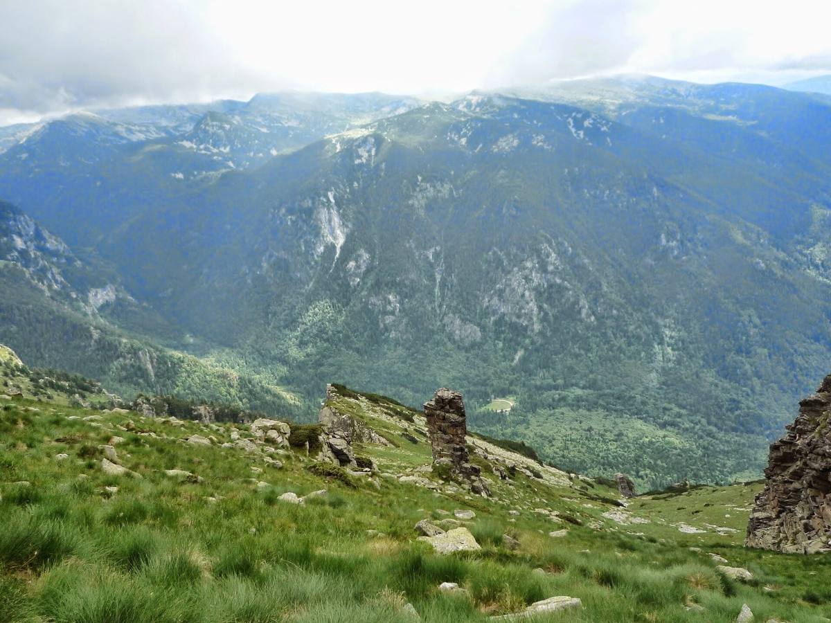
↗The park authority places the locality at about 1,500 m elevation and approximately 7 km east of the monastery. A paved road reaches it. Above the woodland, steep slopes and rocky mountain forms come into view.
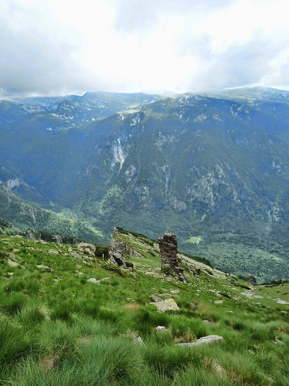
The panoramic photographs were taken from high ground. Kirilova Polyana appears as a small open patch below in the valley. The foreground rocks belong to the photographer’s viewpoint, rather than the clearing itself.
The wooded approach reveals the transition from the enclosed valley to open space. This walk differs from climbing above the tree line. A short visit need not continue toward the high lakes.
Learning in the forest
↗The authority describes a Young Nature Lover’s Trail with information boards about trees, shrubs, and herbaceous plants. Prepared tree stumps provide seating in a symbolic classroom. Trail markings, birdhouses, and other educational elements connect observation with care for the environment.
A separate path from Bachkova Fountain above the monastery toward Kirilova Polyana is described with labeled plants and opportunities to visit the Churches of the Protection of the Virgin and St. Luke. Nature walks and pilgrimage routes meet along this valley.
On October 15, 2025, the park reported repairs to sections of an ecological trail created for people with disabilities. This confirms its intended purpose. Ask the authority for current information about its surface and approach in 2026.
Toward Sukhoto Lake
↗The park’s route to Sukhoto Lake starts at the clearing, follows white-green-white markings, and forms part of European route E4. The authority gives about 2 hours to reach the lake. This is an outward journey, excluding breaks and the return.
The path crosses Karkulitsite locality, pine woodland, and grassy sections before reaching the lake valley. According to the park’s description, Sukhoto Lake dries out during some summer days. The reported plant diversity concerns the route, rather than a count made solely in the clearing.
The debris flow of 2022
↗Alexandar Sarafov, Simeon Matev, Dimitar Krenchev, and Georgi Rachev of Sofia University examine the event of August 22, 2022, in the Review of the Bulgarian Geological Society (2022). A water-and-rock flow from a tributary of the Manastirska River buried the road between St. John of Rila’s cave and Kirilova Polyana under stones, soil, and trees.
This is a documented past event rather than a report that the road is closed today. It illustrates the relevance of conditions following heavy rain when planning a visit to this valley.
Visiting
↗Approach along the road above the monastery. The park describes vehicle access in summer conditions; check its present state before traveling. Allow about an hour for the clearing and a short walk, planning longer routes separately. The map marker is the clearing’s center, verified as grassland in OpenStreetMap. Confirmed visitor hours or admission fees have not been found.
Photos and related images
The image could not load. Its caption and source remain available.

Sources
(4)
A date may refer to construction, renewal, or another stated stage. Legends are accounts recorded in sources, rather than established events. Bibliography links help locate the named author; no automatic reference is added where the match is ambiguous.
- За туристите: Кирилова поляна и маршрути, Дирекция на ПП „Рилски манастир“Institutional page · Bulgarian · parkrilski-manastir.eu
Source address
https://parkrilski-manastir.eu/content/tourists
If a link does not open, use its title, author, and address to search, or consult another listed source.
- Достъпна природа за всички!, Дирекция на ПП „Рилски манастир“, 15.10.2025Institutional page · Bulgarian · parkrilski-manastir.eu
Source address
https://parkrilski-manastir.eu/news/15.10.2025/show
If a link does not open, use its title, author, and address to search, or consult another listed source.
- Александър Сарафов, Симеон Матев, Димитър Кренчев, Георги Рачев, Селевият поток от 22 август 2022 г. в района на Кирилова поляна, Списание на БГД, 83, 3, 2022, с. 225-228Research publication · Bulgarian · bgd.bg
Source address
https://bgd.bg/REVIEW_BGS/REVIEW_BGD_2022_3/PDF/52_Sarafov_Rev_BGS_2022-3.pdf
If a link does not open, use its title, author, and address to search, or consult another listed source.
- OpenStreetMap: way/439511629Map record · Language not specified · openstreetmap.org
Source address
https://www.openstreetmap.org/way/439511629
If a link does not open, use its title, author, and address to search, or consult another listed source.