Chapter ISights

History

Go to the sights (12) ↓

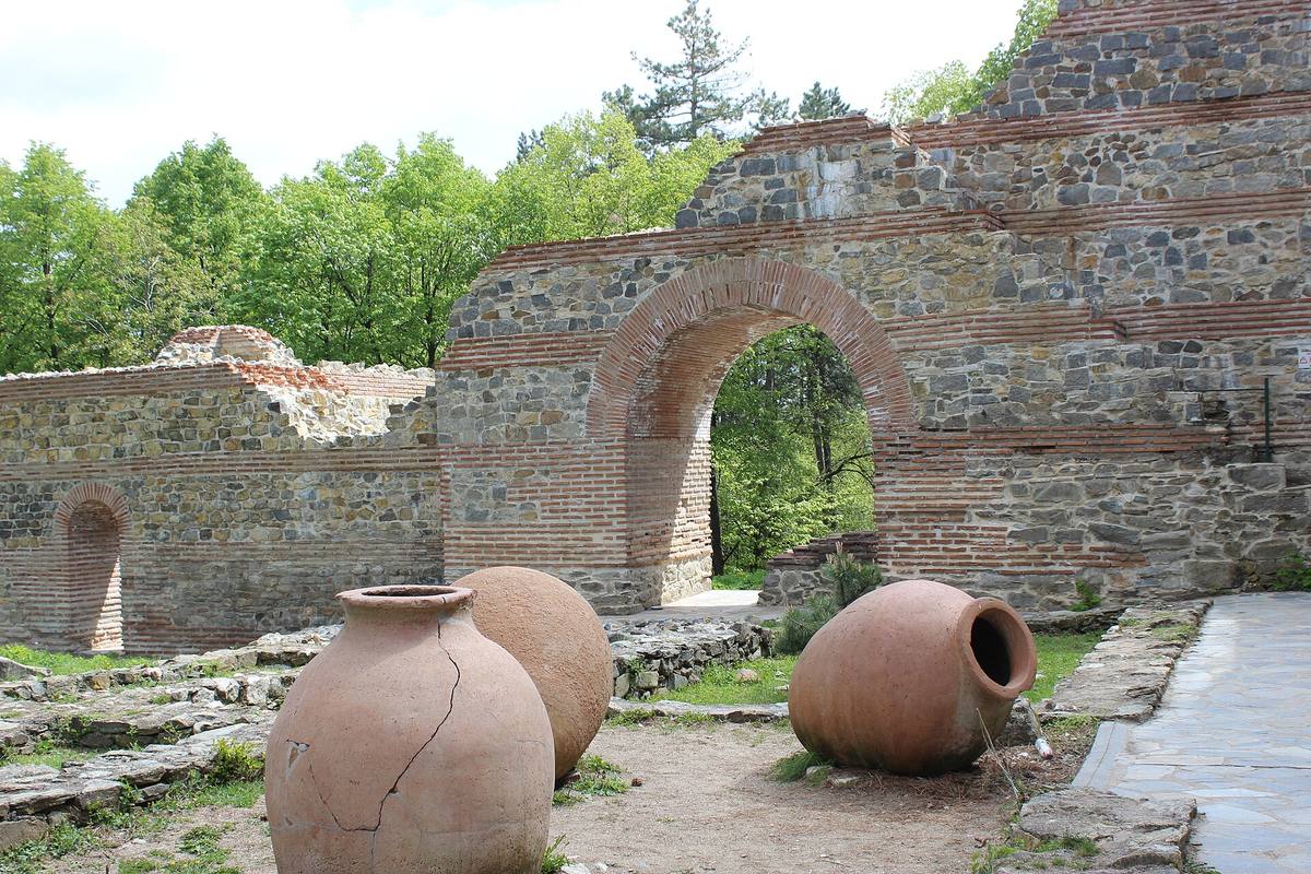
A brick arch through the wall, with large clay storage jars in frontEnlarge photo
A restored section of the fortress wall, with an arch and pithoi, large storage jars.Photographed: . A dated photograph does not establish the current condition.Photo: Gligan, 2017 · CC BY-SA 4.0 · Wikimedia Commons

Fortresses, towers, a bridge, a rock passage, and a memorial: history and memory in Kyustendil and its province.

Pautalia, Velbazhd, and Kyustendil are three historical names of the town. Its fortress, residential tower, and the bridge help trace different eras, while the other sites extend the story into the province.

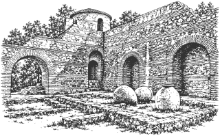
The late antique Hisarlaka Fortress is usually dated to the late 4th or early 5th century, although its exact date is disputed. It stands on the sacred hill of Pautalia, where temples of Asclepius and other gods once stood. In the Middle Ages Velbazhd was ruled from it, and in the 14th century, according to Dr. Yavor Mitov of the Regional History Museum, it was “a kind of residence” of Despot Konstantin Dragaš. The town owes him its present name, too: the Ottomans called his lands Konstantin-ili, “the land of Constantine.”

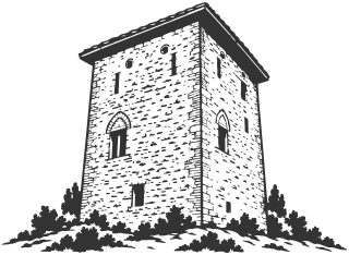
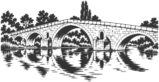
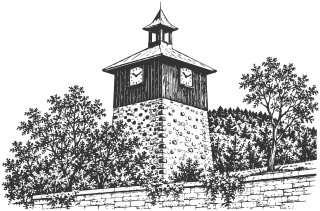
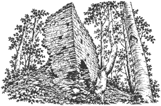
Down in the center stands Pirgova Tower, built between the 14th and 16th centuries as the home and stronghold of a local lord. It is the only one left of the town’s several medieval towers. And 14 km to the east, at Nevestino, Kadin Bridge has crossed the Struma since 1469-1470: five granite arches and the local legend, about the bride walled into its middle arch.

Zemlangrad adds to the history of fortresses in Zemen Gorge. At Proviralkyata near Lilyach, a natural formation is associated with customs and traditions whose ancient dating remains unconfirmed. Dupnitsa’s Clock Tower shows the transition from a defensive structure to urban timekeeping.

The Poletinski Kamak memorial near Poletintsi extends the chapter to the memory of World War II. The regional register distinguishes it from the village’s other military monuments; its construction date remains unconfirmed.

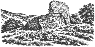
Trite Kuli near Razhdavitsa is described as a separate fortress ruin in the gorge. The main fortress of Zemlangrad’s history and finds have not been transferred to it automatically; the precise approach to the remains needs verification.

Gradishte near Eremiya is assigned to Late Antiquity in the catalog account. Gradishteto at Skaleto near Pastuh has been associated with the name Zhitomisk, although this historical identification remains a hypothesis. The visible fortifications and nearby church remains require separate consideration.

Gradishteto near Golyam Varbovnik preserves local traditions about Samuel and Aaron, considered as folklore. In Zemen Gorge, southern Gradishteto near Polska Skakavitsa is distinguished from main Zemensko Kale. Farther north, Kulata near Dragoychintsi extends the account of medieval fortifications in Kraishte.
Sights in this chapter

Find a sight to visit

Sights found: 12

    1. Kyustendil town

    2. 01 Hisarlaka Fortress

      History · Kyustendil town

      The late Roman fortress on the hill above Kyustendil, usually dated to the late 4th or early 5th century, although its construction chronology is disputed. It stands on the sacred hill of Pautalia, where temples of Asclepius and other gods once stood. Parts of the walls and three towers were rebuilt in 2014-2015. Around it grows a pine forest planted from 1891, and every March 21 the town welcomes spring in front of its east gate.

      Read about this sight →Show on map

    3. 04 Pirgova Tower

      History · Kyustendil town

      A stone residential tower in central Kyustendil, built between the 14th and 16th centuries as the home and stronghold of a local lord. It is the only survivor of the town’s several medieval towers, and today it is an exhibition space of the Regional History Museum.

      Read about this sight →Show on map

    4. Kyustendil Municipality outside town

    5. 34 Zemlangrad (Zemensko Kale)

      History · Zemen Gorge, above Polska Skakavitsa · Kyustendil Municipality outside town

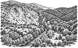
      Zemlangrad stands above a bend of the Struma in Zemen Gorge. Its remains preserve traces of Late Antiquity, the Middle Ages, and later occupation, although a detailed history still requires access to the original excavation publications.

      • No separate on-site estimate

      Read about this sight →Show on map

    6. 89 Trite Kuli Fortress

      History · Near Razhdavitsa, Zemen Gorge · Kyustendil Municipality outside town

      A small fortress ruin above the Struma northwest of Razhdavitsa. Trite Kuli is described separately from the main fortress of Zemlangrad, while its walking approach still requires verification.

      • No separate on-site estimate

      Read about this sight →Show on map

    7. 102 Gradishteto near Polska Skakavitsa

      History · Zemen Gorge · Kyustendil Municipality outside town

      A separate fortified hill on the Struma’s right bank, south of Zemensko Kale. Some maps label it Zemenchansko Gradishte, but the precise match with the described remains is unresolved.

      • No separate on-site estimate

      Read about this sight →Show on map

    8. Other municipalities in the province

    9. 16 Kadin Bridge

      History · Nevestino · Other municipalities in the province · Nevestino Municipality

      A stone bridge over the Struma at Nevestino, built in the Islamic year 874 (1469-1470) on the orders of Grand Vizier Ishak Pasha. It has five granite arches, the highest in the middle, and the local legend: the bride walled into the central arch. Travelers described it as early as the 16th century, and more than five centuries later cars still cross it.

      Read about this sight →Show on map

    10. 46 Proviralkyata Rock Sanctuary

      History · Lilyach · Other municipalities in the province · Nevestino Municipality

      Proviralkyata near Lilyach is a narrow natural opening between rocks, associated with local customs concerning health and fertility. A route reaches it past the reservoir and through Manastirishte locality; an ancient date remains unconfirmed by an accessible primary publication.

      • No separate on-site estimate

      Read about this sight →Show on map

    11. 60 Clock Tower

      History · Dupnitsa · Other municipalities in the province · Dupnitsa Municipality

      The Clock Tower stands in Dupnitsa’s Town Garden above the center. Originally a defensive tower, it was adapted for a clock in the late 18th century. Its stone base, wooden level housing the clock, and pointed roof create a recognizable silhouette.

      Read about this sight →Show on map

    12. 93 Gradishte Fortress

      History · Near Eremiya · Other municipalities in the province · Nevestino Municipality

      Gradishte is a fortified hill southwest of Eremiya. The catalog assigns it to Late Antiquity and describes stone walls, but a precise construction chronology has not been established here.

      • No separate on-site estimate

      Read about this sight →Show on map

    13. 94 Gradishteto near Pastuh

      History · Skaleto locality, near Pastuh · Other municipalities in the province · Nevestino Municipality

      The fortress hill at Skaleto near Pastuh is often called Zhitomisk. That historical identification is a hypothesis and should be distinguished from the visible remains themselves.

      • No separate on-site estimate

      Read about this sight →Show on map

    14. 99 Gradishteto

      History · Near Golyam Varbovnik · Other municipalities in the province · Bobov Dol Municipality

      A fortified hill above Kuklata, associated with Razmetanitsa traditions about Samuel and Aaron. Archaeological chronology and precise outlines remain unresolved.

      • No separate on-site estimate

      Read about this sight →Show on map

    15. 105 Kulata Fortress

      History · Near Dragoychintsi · Other municipalities in the province · Treklyano Municipality

      A medieval fortress with remains of a rectangular tower near Dragoychintsi. The municipal plan confirms the site, while local historical literature preserves older descriptions and a siege legend.

      • No separate on-site estimate

      Read about this sight →Show on map

    Photos from Wikimedia Commons. Their authors and licenses are listed on each sight’s page.

    Drawings are illustrations for orientation; photographs document the sights at the stated date. Drawing credits and reuse terms are listed on the About page.